State Route 122 |
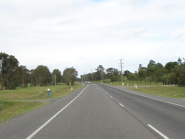
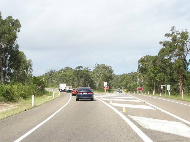
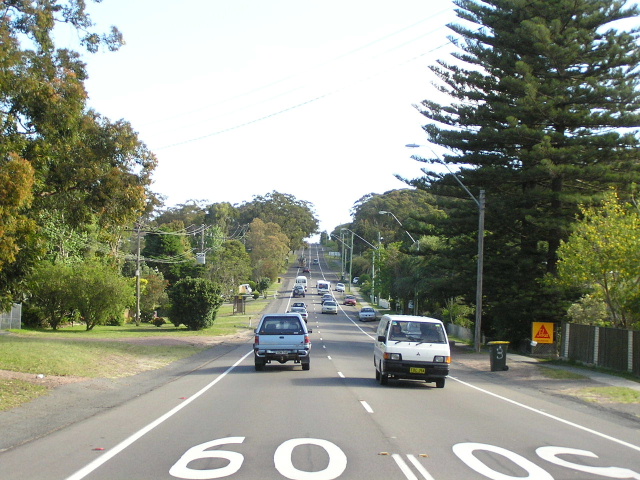
Leaving Williamtown eastbound towards Nelson Bay. Oct 2004.
In 2013, RMS will be implementing a new alpha-numeric route numbering system. For more information, visit the RMS Website. |
||
Forthcoming alpha-numeric route number: |
(Williamtown to Nelson Bay section only) |
|
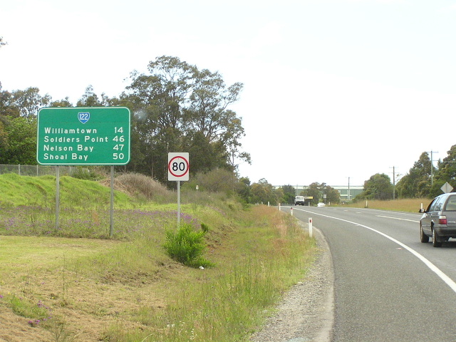
Length: 47km
Eastern Terminus: Church St & Stockton St, Nelson Bay
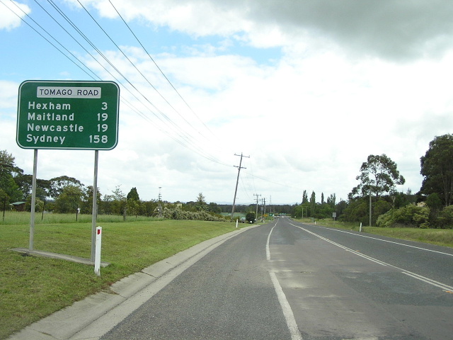
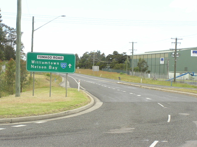
Western Terminus: Pacific Hwy & Tomago Rd, Tomago
Route taken: Tomago Rd, Cabbage Tree Rd, Nelson Bay Rd, Stockton St
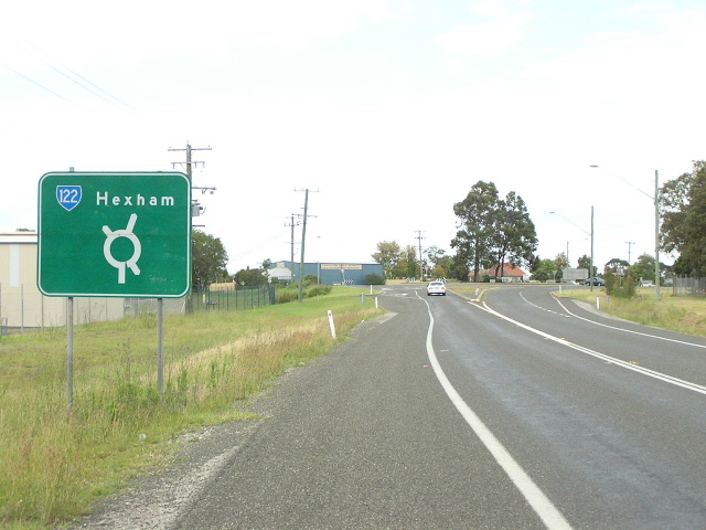
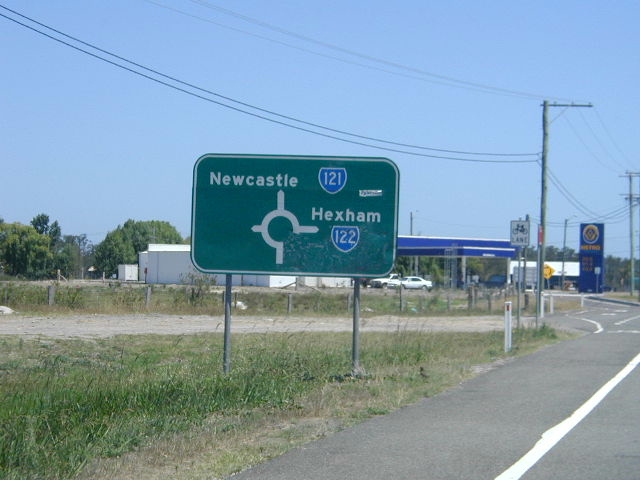
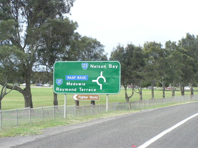
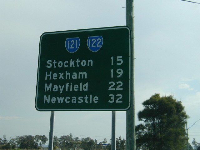
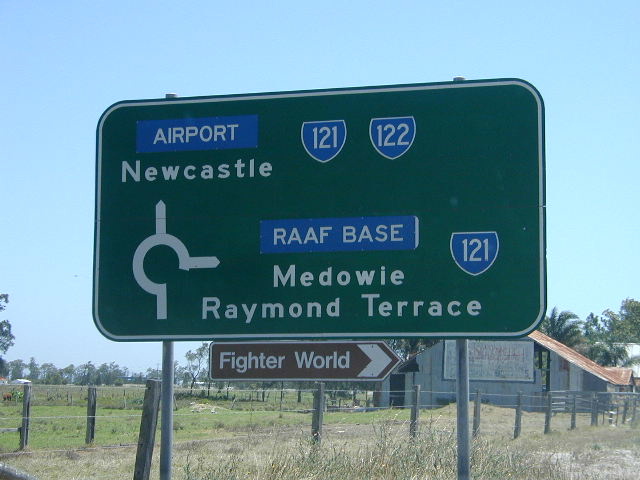
Focal Points: Hexham, Newcastle (wb only), Nelson Bay
RTA Internal Classification: Main Road 302 (Tomago-Williamtown), Main Road 108 (Williamtown-Nelson Bay)
Route Overview:
State Route 122 is a major east-west route north of Newcastle, primarily connecting the Pacific & New England Highways and the F3 Freeway to the Port Stephens district. The route has seen its role diminish in recent years, following the signposting changes on Pacific Hwy in 2002 that omitted the SR122 shield and the Nelson Bay focal point. Nelson Bay traffic is now encouraged to travel north on the Pacific Hwy to Richardson Rd and use Richardson Rd to reach SR122 at Salt Ash. However, a great deal of traffic still uses the Tomago Rd/Cabbage Tree Rd route :-)
The route was introduced in 1974, along with the majority of the other State Routes in NSW. Originally it extended east from its current terminus via Church St, Government Rd, Victoria Pde and Shoal Bay Rd to terminate at the intersection of Shoal Bay Rd & Government Rd in Shoal Bay. In 1994 the section of the route east of the intersection of Stockton St & Church St, Nelson Bay was handed over to Port Stephens Council and SR122 was truncated at this intersection. Some signage still remains marking the former route to Shoal Bay.
What does the future hold for this route? Well, judging by the signage erected on the Pacific Hwy, the RTA wishes Nelson Bay bound traffic to use Richardson Rd so we may see a re-routing of SR122 (or its alpha-numeric equivalent) onto Richardson Rd, with SR121 being extended to Salt Ash. Alternatively, the entire route from Salt Ash to East Maitland via Richardson Rd and Raymond Terrace Rd may get a new number and SR121 (or its alpha-numeric equivalent) will be extended to Nelson Bay.
Notable events in the history of SR122:
1974 - Route introduced - extending to Shoal Bay
Early 1990s - Nelson Bay Rd dual carriageways at Bobs Farm
1994 - Truncated in Nelson Bay town centre
2002 - New signs on Pacific Hwy installed omitting SR122 shield and Nelson Bay focal point
Photos of State Route 122 |
|
 |
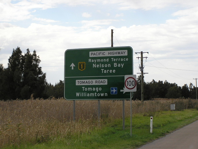
Northbound on Pacific Hwy - this is the original AD sign with the SR122 shield - now removed. Thanks to Shayne Kerr for this 2000 pic. |
 |
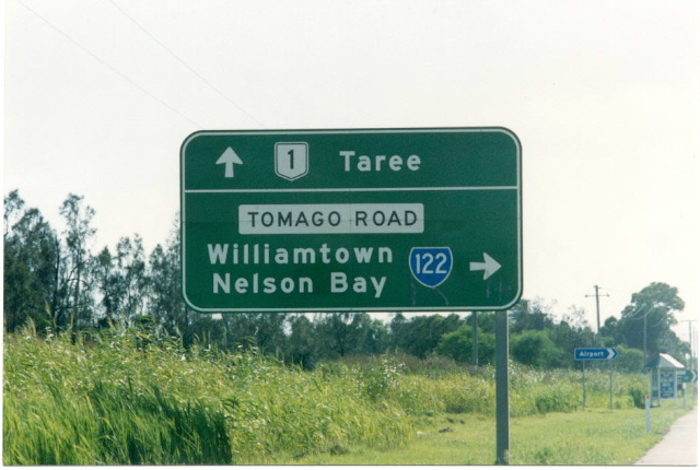
Northbound on Pacific Hwy - this is the current AD sign. Note the omission of SR122 shield and Nelson Bay focal point. Aug 2004. |
 |
Northbound ID sign - now removed. Thanks to Shayne Kerr for this 2000 pic. |
 |
Northbound ID sign - this is what is there now. Aug 2004. |
 |
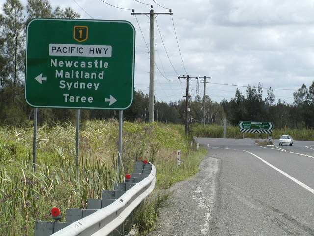
Southbound AD sign, again omitting the SR122 shield. Aug 2004. |
 |
Westbound on Tomago Rd approaching the end of SR122. Note the incorrect NH1 shield - should be a National Route shield. Aug 2004. |
 |
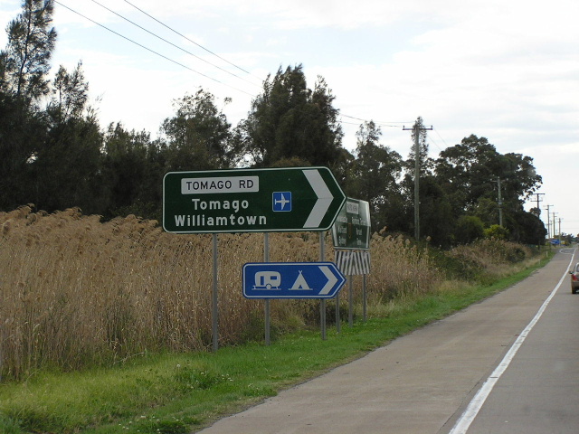
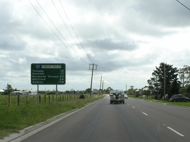
Odd coloured AD sign approaching Old Punt Rd, Tomago. Oct 2004. |
 |
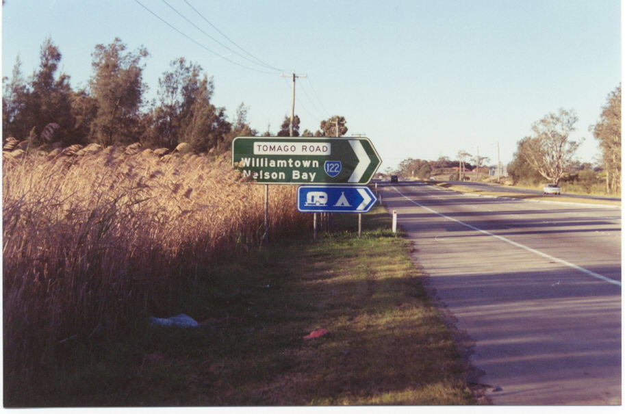
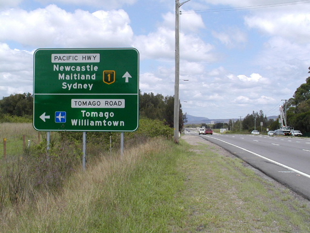
Heading west from Old Punt Rd - no SR122 shield on this sign either. Oct 2004. |
 |
Another odd-coloured sign at the Old Punt Rd intersection. Oct 2004. |
 |
Heading east from Old Punt Rd, another odd-coloured sign. Oct 2004. |
 |
Westbound approaching Old Punt Rd. Oct 2004. |
 |
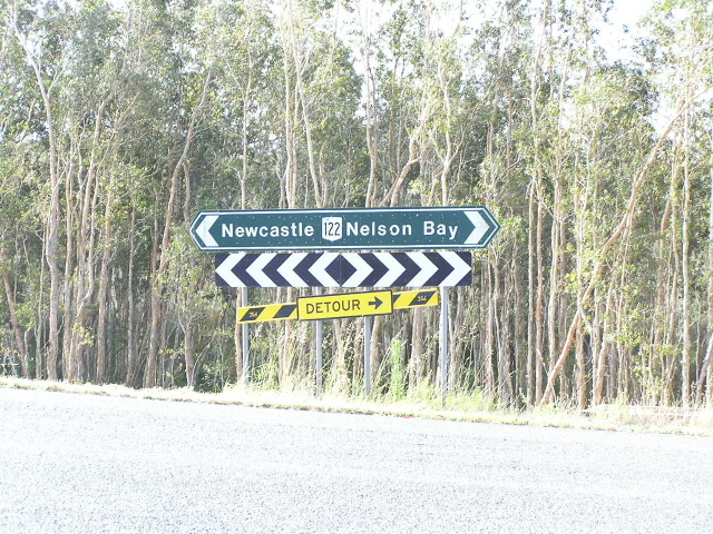
Typical 1990's fingerboard at the Masonite Rd intersection, Tomago. This is where Tomago Rd become Cabbage Tree Rd. Oct 2004. |
 |
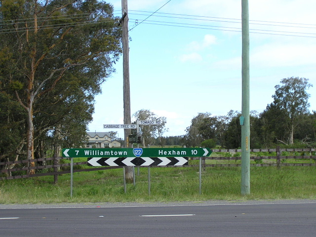
LOoking west along Cabbage Tree Rd. Oct 2004. |
 |
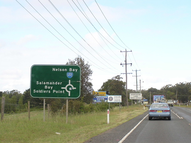
AD sign eastbound approaching Nelson Bay Rd at Williamtown. Note the old SR121 shield for left. Dec 2003. |
 |
Another odd-coloured sign, this time pointing the way to Cabbage Tree Rd. Oct 2004. |
 |
This sign is very new and there was no RD sign previously, indicating that perhaps SR122 will meain. Oct 2004. |
 |
Heading south approaching the start of SR121. Dec 2003. |
 |
Heading east approaching the Medowie Rd intersection. Note the old SR121 shield. Oct 2004. |
 |
Thanks to Shayne Kerr for this pic of the now removed RD sign heading west from Medowie Rd, Williamtown. Note the old SR121 shield. |
 |
Eastbound approaching Medowie Rd. Note the old SR121 shields. Dec 2003. |
 |
Approaching from Richardson Rd at Salt Ash. Oct 2004. |
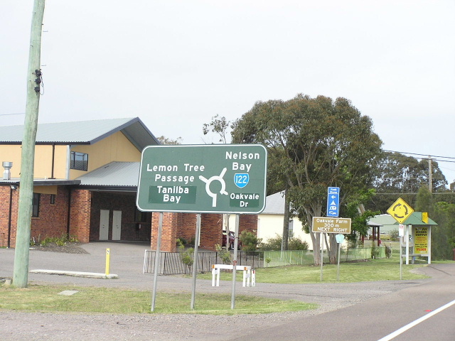 |
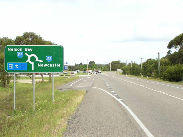
Heading east towards Lemon Tree Passage Rd, Salt Ash. Oct 2004. |
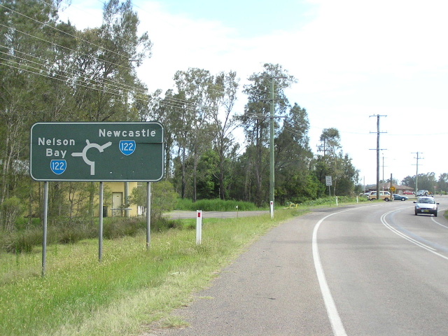 |
Approaching SR122 from Lemon Tree Passage Rd. Oct 2004. |
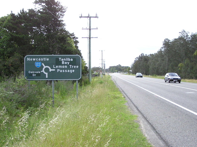 |
Heading west towards Salt Ash. Oct 2004. |
 |
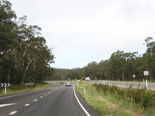
Looking west at the beginning of the dual carriageway section at Bobs Farm. Oct 2004. |
 |
Heading west about 5km later where the dual carriageways end nearing Anna Bay. Oct 2004. |
 |
Heading east approaching Port Stephens Dr at Anna Bay. Oct 2004. |
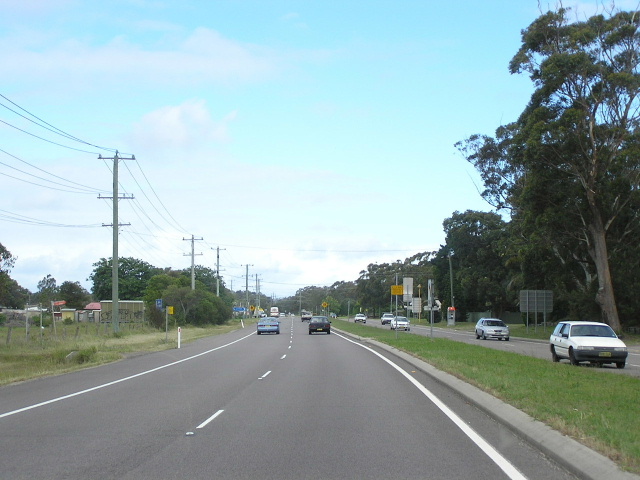 |
Looking east through Anna Bay. Oct 2004. |
 |
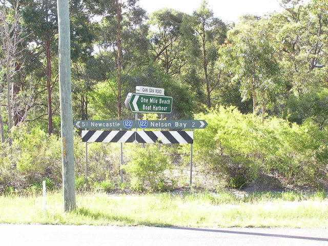
Approaching SR122 from Gan Gan Rd, Anna Bay. Oct 2004. |
 |
Erroneous NR122 shield at Frost Rd. Oct 2004. |
 |
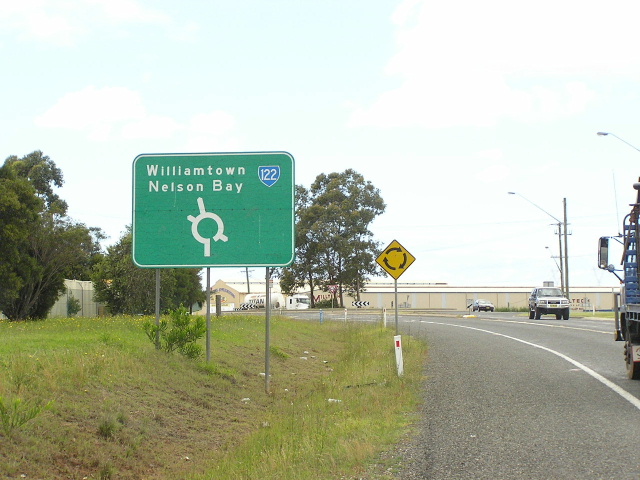
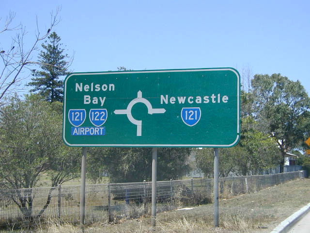
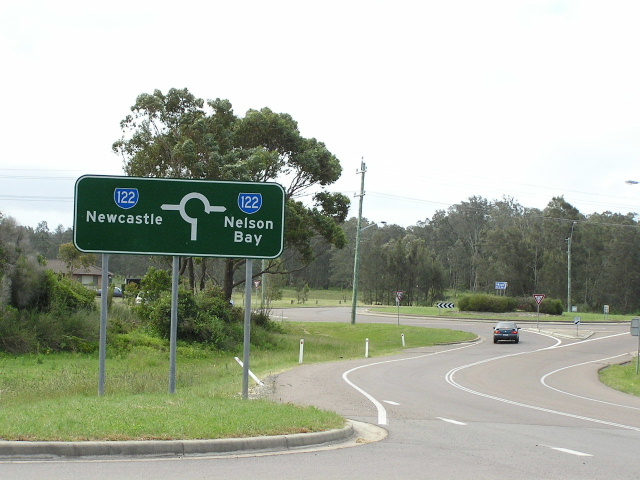
Strange design for this roundabout ID sign at Salamander Way. Oct 2004. |
 |
Very old fingerboards at Gan Gan Rd. Oct 2004. |
 |
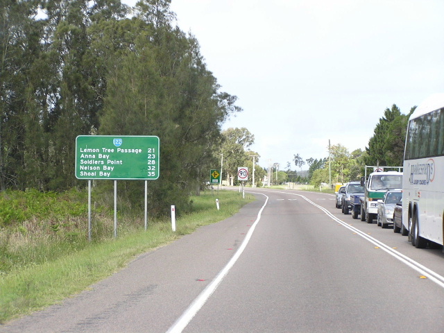
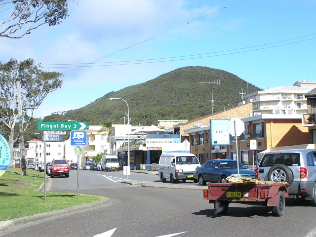
Looking west along Stockton Street. Oct 2004. |
Photos of State Route 122 former alignment - Nelson Bay to Shoal Bay (1974-1994) |
|
 |
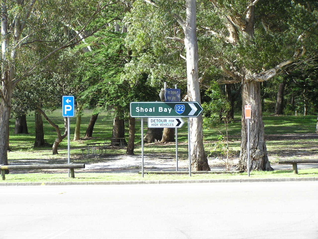
1980s AD sign approaching the intersection of Stockton and Church Streets - SR122 now ends here. Oct 2004. |
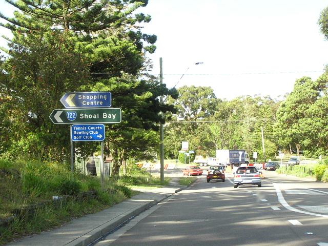 |
ID signs at the same intersection. Oct 2004. |
 |
AD sign on Church St approaching Government Rd, Nelson Bay. Oct 2004. |
 |
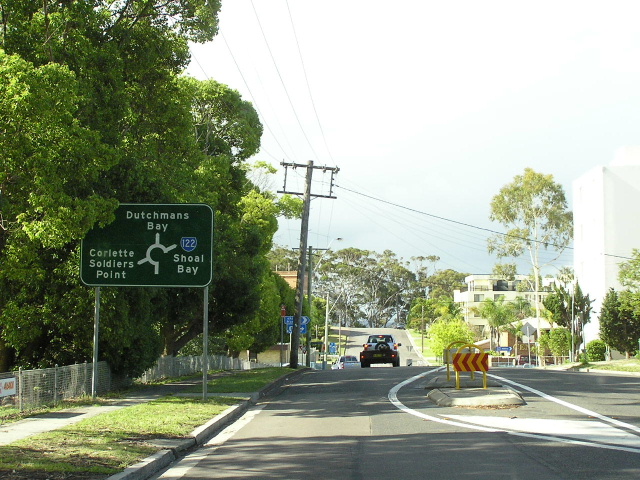
Heading east on Government Rd approaching the former alignment of SR122. Oct 2004. |
 |
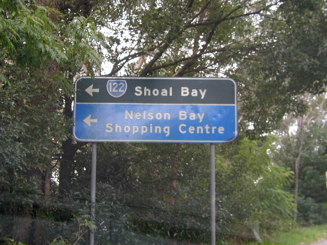
ID sign at the intersection of Shoal Bay Rd & Magnus St, Nelson Bay, showing the route on its old alignment. Oct 2004. |
 |
Looking east at the intersection of Government Rd & Shoal Bay Rd in Shoal Bay. This is the original terminus of SR122. Oct 2004. |
Last updated 12 December 2012 © Ozroads 2003-2012. |