NSW STATE ROUTE 64
Deccommissioned
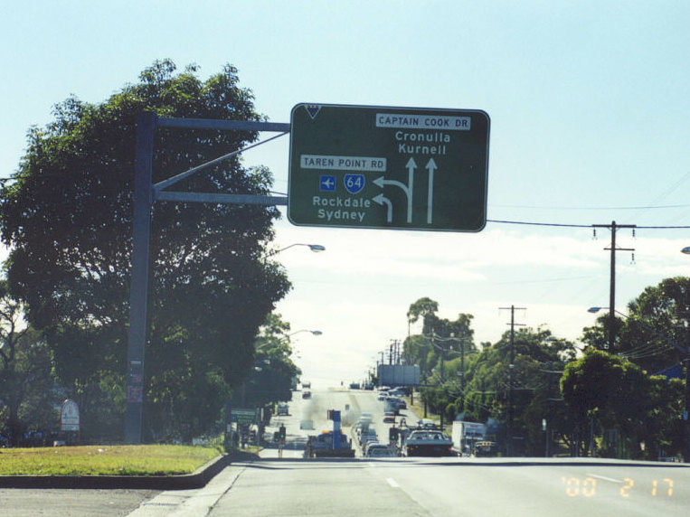
Taren Point Rd southbound approaching The Boulevard/Captain Cook Drive at Caringbah. Feb 2000.
Lifespan: 1974-Jun 2004 (30 years)
Length: 13km
Northern Terminus: The Grand Pde & President Ave, Brighton-Le-Sands
Southern Terminus: Princes Hwy & Kingsway, Kirrawee
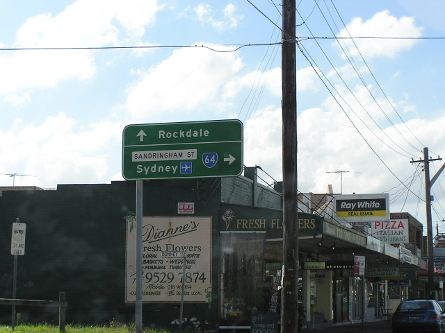
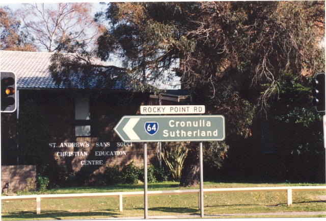
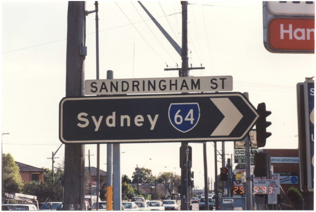
Route taken: Kingsway, Taren Point Rd, Rocky Point Rd, Sandringham St, The Grand Pde
Focal Points: Sutherland, Miranda, Caringbah, Cronulla, Sydney
RTA Internal Classification: Main Road No. 227 (Kingsway), Main Road No. 199 (Taren Pt/Rocky Pt Roads), Main Road No. 194 (Sandringham St & The Grand Pde)
Route Overview:
State Route 64 began life in 1974 as an alternative to National Route 1 - the Princes Highway - from the CBD to Sutherland, making use of the freeway-grade Southern Cross Drive and Captain Cook Bridge. The route originally began at Taylor Square (the intersection of Oxford, Flinders, Bourke and Campbell Streets) in Darlinghurst, following Flinders St, Sth Dowling St, Southern Cross Drive, Wentworth Ave, Botany Rd, Mill Pond Rd and General Holmes Drive to The Grand Pde at Brighton-Le-Sands. From there it followed the normal route all the way to the Princes Hwy at Kirrawee.
In February 1988, SR64 was routed onto the new section of Southern Cross Drive, bypassing Wentworth Ave, Botany Rd and Mill Pond Rd en route to General Holmes Drive. Only 3 years later - in April 1991 - National Route 1 was re-routed onto the northern half of SR64, truncating the route at President Ave, Brighton-Le-Sands. This is the way it stayed until deommissioning in June 2004.
Notable events in the history of SR64:
Feb 1930 - Rocky Point Rd opened
May 1965 - Captain Cook Bridge (replaced ferry service established in 1916)
1974 - Route introduced between Taylor Square (Darlinghurst) and Kirrawee
Apr 1991 - Route truncated at Brighton-Le-Sands
Jun 2004 - Route decommissioned
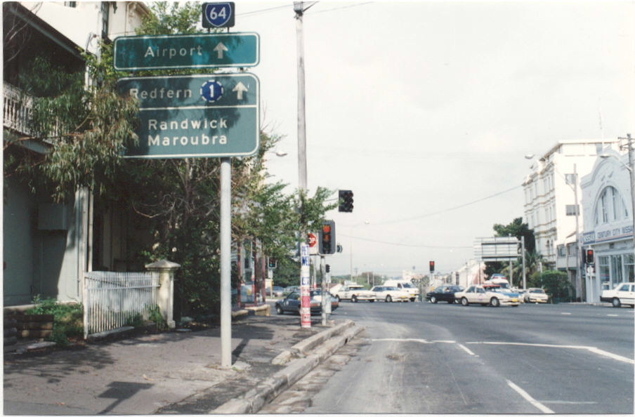
Photos of the former State Route 64 |
|
 |
The first of three RD signs on SR64 - heading east on Kingsway from Princes Hwy at Gymea. May 2004. |
 |
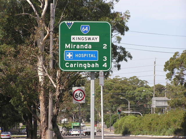
The 2nd of three RD signs on SR64 - this time heading west on Kingsway from Port Hacking Rd at Miranda. 1993. |
 |
ID sign at the same intersection. May 2004. |
 |
ID sign this time heading west. 1993. |
 |
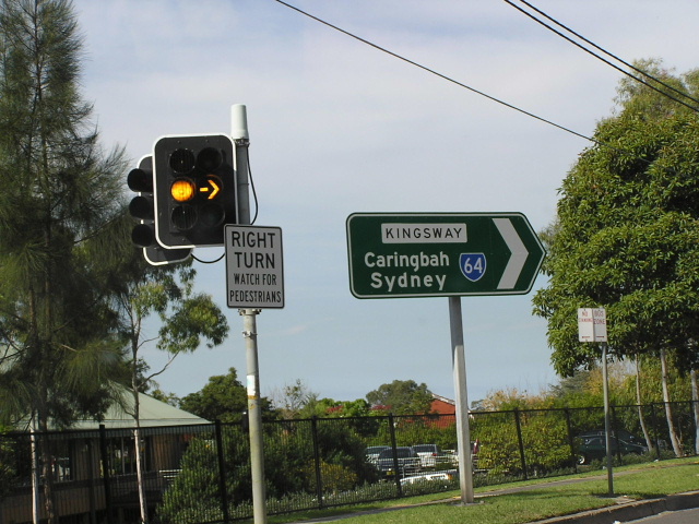
AD sign heading west on Kingsway. 1993. |
 |
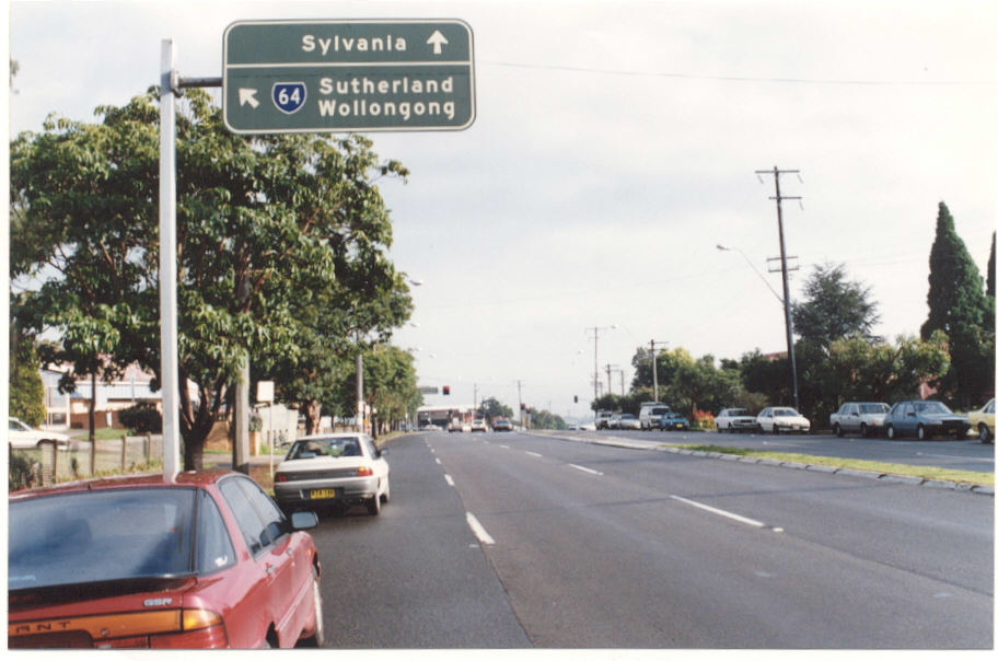
ID sign pointing north at Taren Pt Rd. May 2004. |
 |
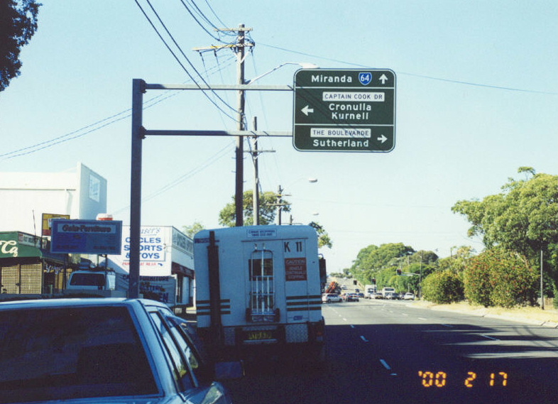
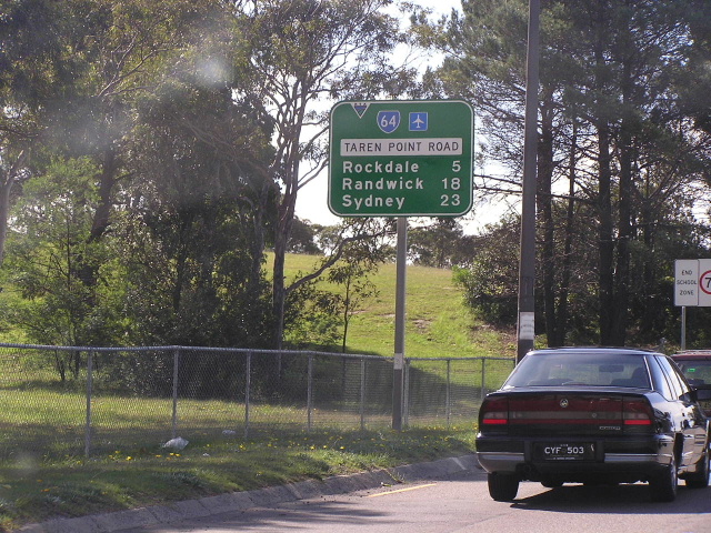
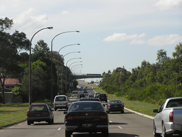
Eastbound on the Boulevard approaching SR64. Feb 2000. |
 |
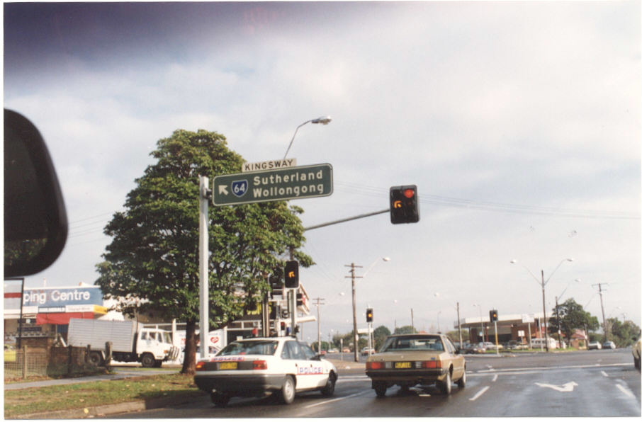
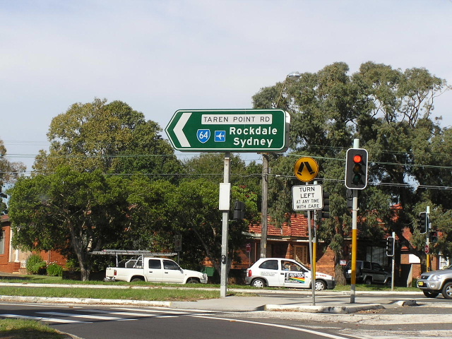
Northbound RD sign on Taren Pt Rd at Caringbah. May 2004. |
 |
Looking north on the freeway standard section of Taren Pt Rd approaching Captain Cook Bridge, planned to be part of the F6 one day. May 2004. |
 |
Northbound on Rocky Pt Rd approaching Sandringham St at Sans Souci. May 2004. |
 |
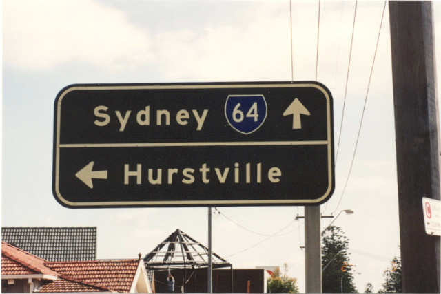
Old ID sign at Rocky Pt Rd & Sandringham St, Sans Souci. Sep 1993. |
 |
Another old ID sign at the same intersection. Sep 1993. |
 |
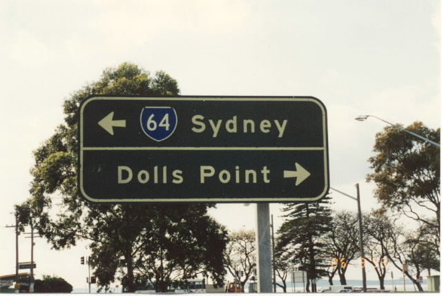
Old AD sign on The Grand Pde at Ransgate Rd, Monterey. Sep 1993. |
 |
Old sign on Ramsgate Rd at The Grand Pde. Sep 1993. |
Black ID sign at Ramsgate Rd. Sep 1993. |
|
 |
Southbound black AD sign at Ramsgate Rd. Sep 1993. |
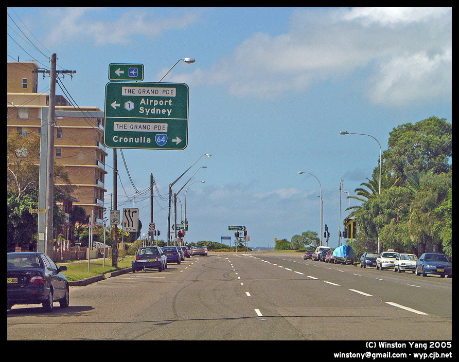 |
President Ave approaching the 1991-2004 northern terminus of SR64. Thanks to Winston Yang for this pic. |
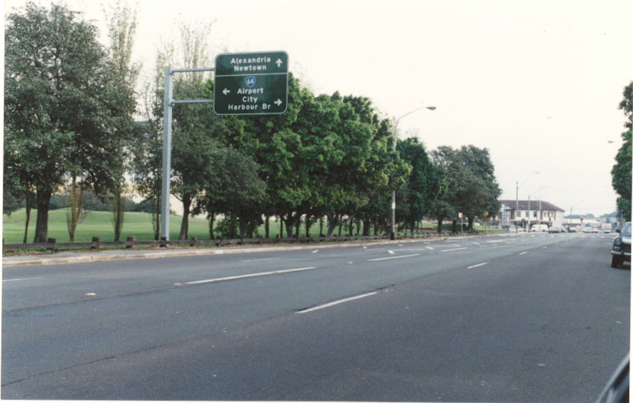 |
SR64 sign on Dacey Ave at Moore Park. 1990. |
 |
Lachlan St signage showing SR64 at Moore park. 1990. |
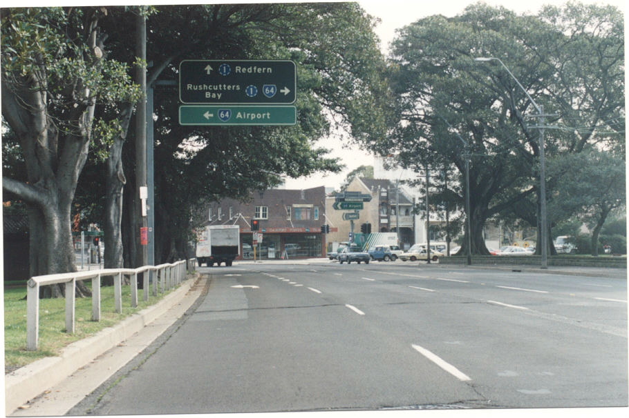 |
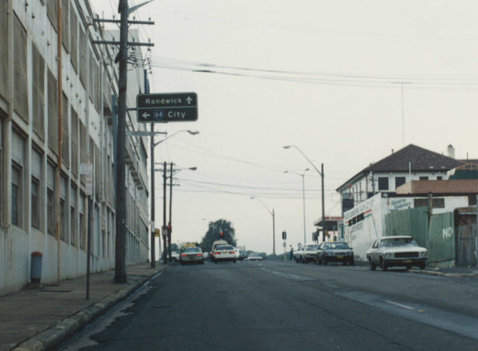
SR64 signage - with Ring Road 1 - at South Dowling St & Cleveland St. 1990. |
 |
SR64 signage - with Ring Road 1 - at South Dowling St & Cleveland St. 1990. |
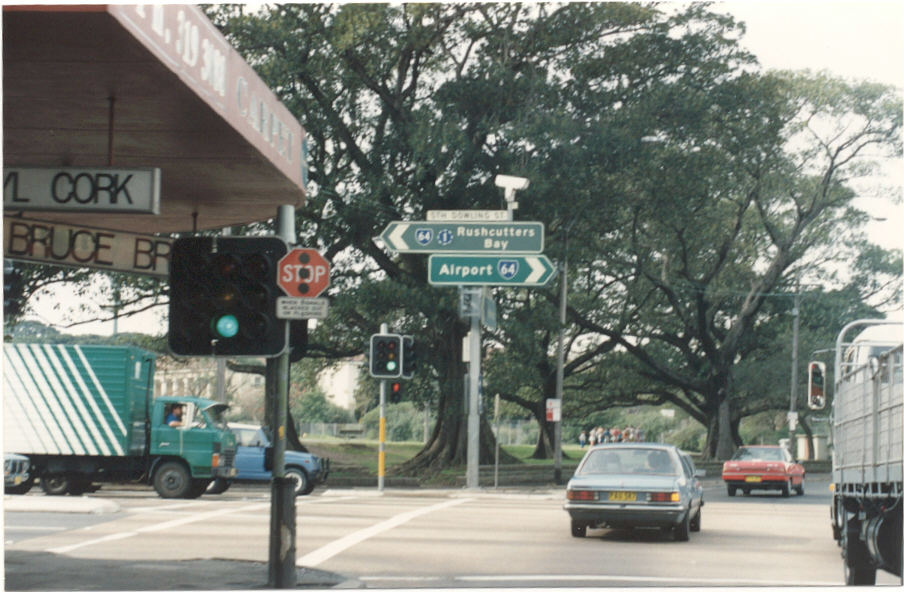 |
SR64 signage - with Ring Road 1 - at South Dowling St & Cleveland St. 1990. |
 |
SR64 shield added onto a very old sign at Flinders St & Sth Dowling St. 1990. |