Former State Route 61 Richmond - Rooty Hill - Liverpool - Heathcote |
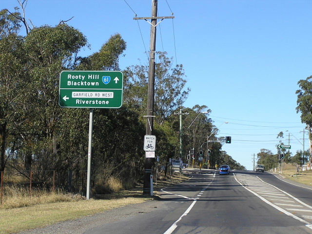
Richmond Road heading south east from Garfield Road West at Marsden Park. Aug 2005.
Lifespan: 1973-2005 (32 years)
Length: 45km
Northern Terminus: East Market St & March St, Richmond
Southern Terminus: Hume Hwy & Elizabeth Dr, Liverpool
Route taken: East Market St, Lennox St, Blacktown Rd, Richmond Rd, Rooty Hill Rd North, Woodstock Ave, Philip Parkway, Gt Western Hwy, Wallgrove Rd, Elizabeth Dr
Focal Points: Lithgow, Richmond, Blacktown, Rooty Hill, Liverpool
RTA Internal Classification: Main Road No. 537 (Richmond-Rooty Hill), Main Road No. 515 (Woodstock Ave, Philip Pkwy, Wallgrove Rd), State Highway No. 5 (Gt Western Hwy), Main Road No. 535 (Elizabeth Dr)
State Route 61 is a circumferential route in the Sydney system, largely skirting existing urban areas on its journey between Liverpool and Richmond. It was one of the first three routes introduced in 1973 as part of a route marking trial by the Department of Main Roads, however, it appears it will be decommissioned once the Westlink M7 opens as this new motorway largely parallels SR61. Highlights of the route include the high standard crossings of South Creek and Rickabys Creek on Richmond Road (both constructed in 1979, replacing flood-prone crossings on poor alignments), the concrete Wallgrove Road and the Philip Parkway.
As mentioned earlier, the Department of Main Roads introduced three State Routes in 1973 as a trial of a new route marking system for state routes. State Route 61 was one of them and the trial length was from Wallgrove (Eastern Creek) to Liverpool. The following year the remainder of the State Route system was unveiled and SR61 was extended north from Eastern Creek to Richmond via Rooty Hill railway crossing, and south to Heathcote via Elizabeth St, Macquarie St, Memorial Ave, Scott Street, Newbridge Rd and Heathcote Rd.
The first alignment changes commenced in the early 1980s. In December 1980 a new railway overpass connecting Francis Road and Railway Street at Rooty Hill was opened, eliminating the Rooty Hill level crossing. Thus, SR61 was re-routed onto Francis Rd, Railway St, Duke St and Woodstock Ave. At Liverpool, a one-way street system was introduced in the early 1980s as Macquarie St was closed to permit construction of a pedestrian mall. Thus, SR61 was re-routed from Macquarie St and Scott St onto George St (southbound) and Bigge St (northbound). In February 1985 the Department of Main Roads opened to first section of the South Western Freeway and re-routed State Route 61 via the Hume Hwy & South Western Freeway between Elizabeth Dr and Heathcote Rd to bypass Liverpool, although signage remained for a number of years afterwards. The introduction of Metroad 7 in 1993 spelt the end of the southern-most section of State Route 61 as it was truncated at the Hume Highway and the former Liverpool-Heathcote leg was replaced by Metroad 7.
In return for Blacktown Council allowing BHP to establish a steel mill in the Rooty Hill/Glendenning industrial area, BHP constructed a two-lane single carriageway road between Woodstock Ave and Eastern Road, including a new railway overpass, in the Philip Parkway reservation. State Route 61 was thus routed onto the Philip Parkway and Eastern Road/Woodstock Ave following its opening in July 1992. The Philip Parkway was extended south to the Gt Western Hwy as part of the Westlink M7 construction in February 2005, I was actually one of the first cars on the new section of road, and SR61 was duly re-routed from Eastern Rd/Rooty Hill Rd South onto the Parkway.
Following the opening of the Westlink M7 in December 2005, State Route 61 was decommissioned entirely. However, it took the RTA until March 2006 to change most of the signs to reflect this.
Wallgrove Road was constructed during 1941 as a defence route from the defence areas near Eastern Creek to Liverpool and the Holsworthy Military Barracks. It was reconstructed in cement concrete during the late 1980s and the reconstruction was completed in October 1991. Elizabeth Drive was also constructed as part of the same defence route in 1941. Widening to six lanes east of North Liverpool Road was completed during the 1970s and it was until the late 1990s that work began on duplicating the two-lane road through Bonnyrigg and Cecil Hills. Duplication between Cabramatta Road and Cowpasture Road was completed during 2000 and was extended west to Windsor Rd, Cecil Hills in 2003. Work is currently underway to duplicate Elizabeth Drive as far west as Wallgrove Rd and is scheduled to be completed when the Westlink M7 opens in April 2006.
Photos of State Route 61 - Alignment immediately prior to decommissioning |
|
 |
East Market St (SR40) southbound approaching the beginning of SR61 in Richmond. April 2005. |
 |
END SR61 northbound on East Market St, Richmond. Sep 2005. |
 |
Erroneous SR161 shield on East Market St southbound at Lennox St, Richmond. Sep 2005. |
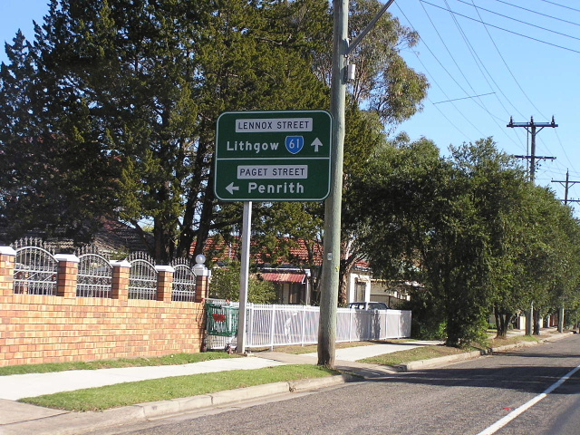 |
Lennox St westbound approaching Paget St, Richmond. May 2004. |
 |
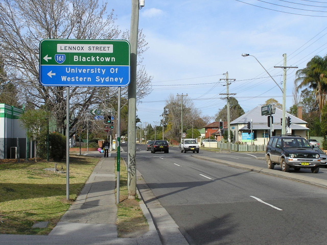
ID signage at the Blacktown Rd/Lennox St/Bourke St intersection at Richmond. Bourke St is signed as the main entrance to UWS Hawkesbury Campus. May 2004. |
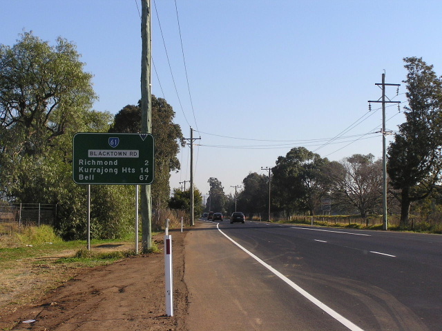 |
Looking north-west from Campus Drive, Richmond. Note the unusual focal points. Quite why Kurrajong Heights and Bell were preferred over Kurrajong and Lithgow is beyond me. Aug 2005. |
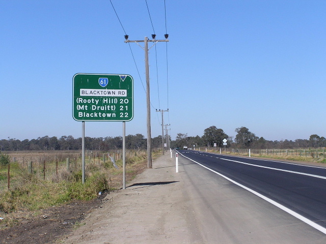 |
Looking south-east from Campus Drive through the UWS paddocks. Aug 2005. |
 |
Looking south-east across Rickabys Creek and floodplain. Aug 2005. |
 |
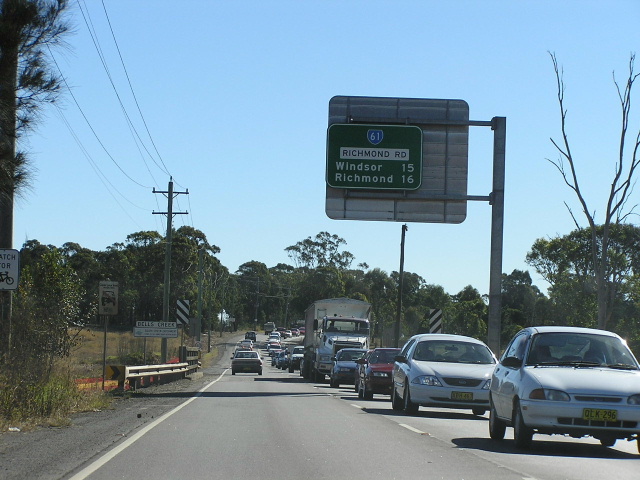
Looking west from the Metroad 9 junction at Londonderry. Aug 2005. |
 |
AD sign for the staggered junction with Metroad 9 at Londonderry. Aug 2005. |
 |
AD sign for the same intersection on Metroad 9 southbound. May 2005. |
 |
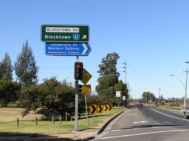
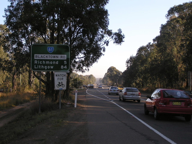
Looking east from Metroad 9 on Blacktown Rd. Aug 2005. |
 |
Richmond Rd looking south-east from St Marys Rd towards the South Creek crossing. Aug 2005. |
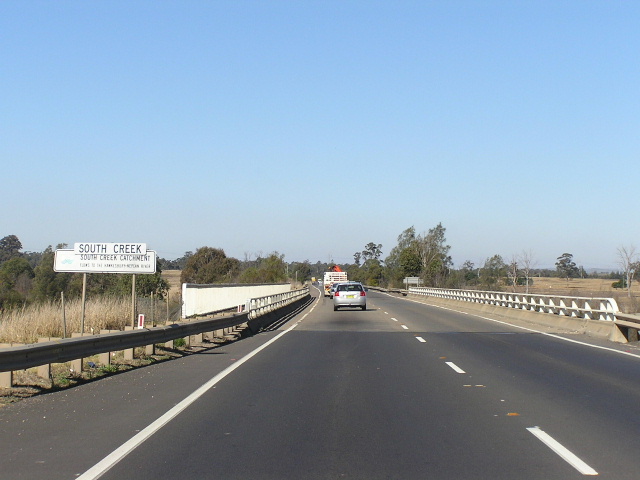 |
Looking southeast across South Creek. Aug 2005. |
 |
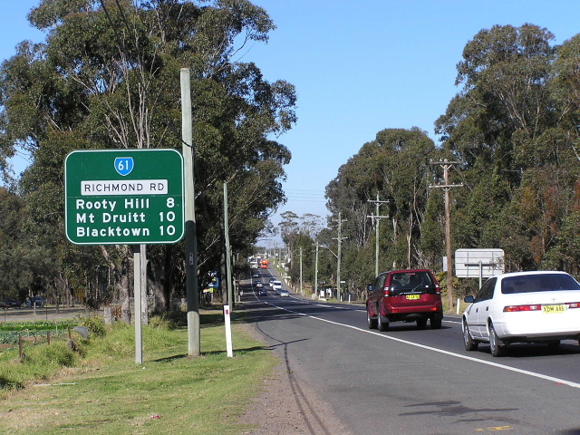
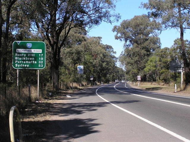
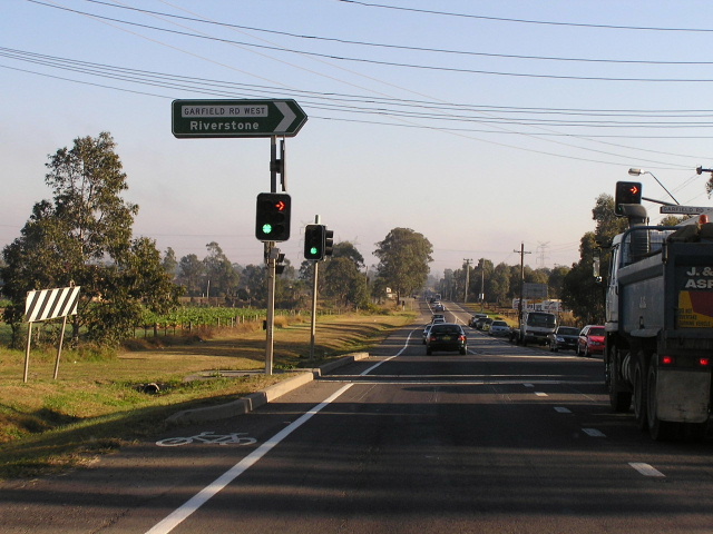
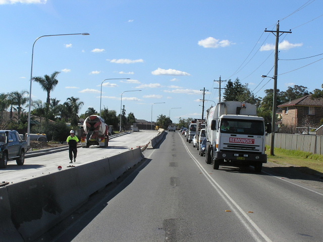
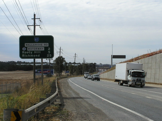
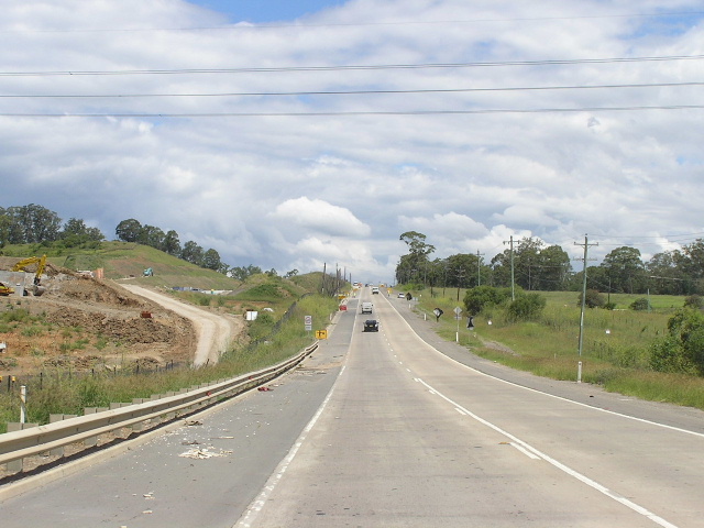
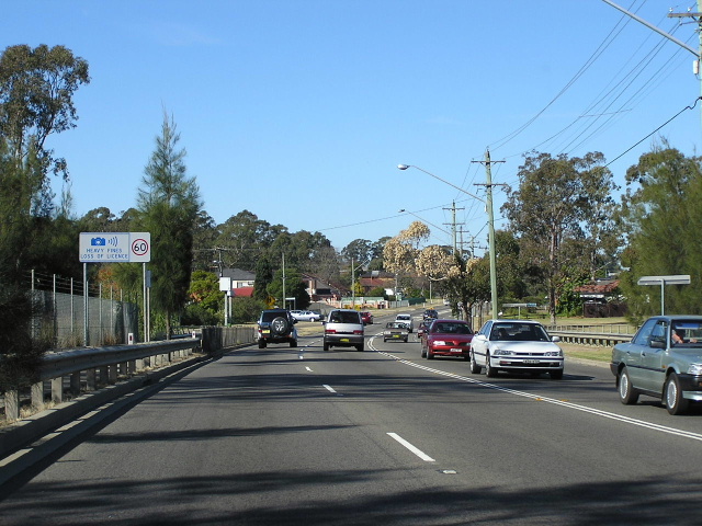
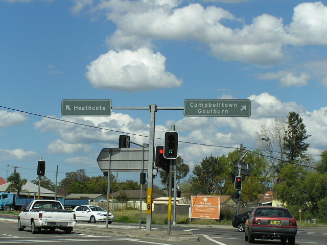
Looking southeast towards Garfield Rd West at Marsden Park. Aug 2005. |
 |
Looking west at Garfield Rd West. Aug 2005. |
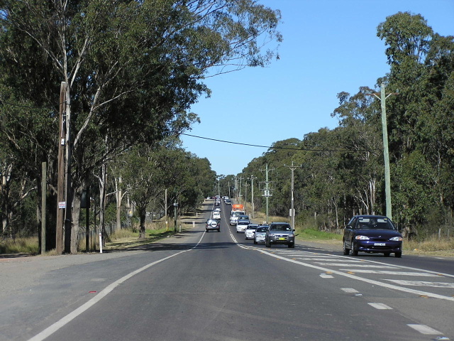 |
Looking east near Grange Ave, Marsden Park. Aug 2005. |
 |
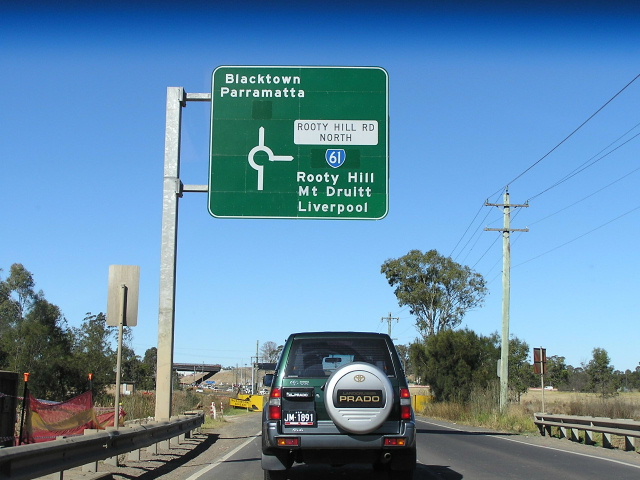
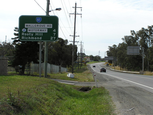
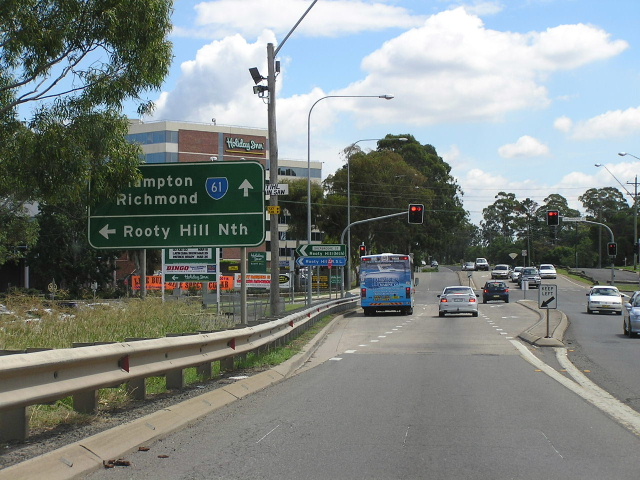
Looking west from the Rooty Hill Rd North/Richmond Rd junction at Oakhurst. May 2004. |
 |
Similar view, this time in August 2005, showing duplication work underway. Aug 2005. |
 |
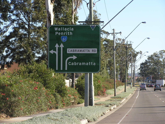
AD sign for the same intersection, heading south-east on Richmond Rd. Note the coverplates covering SR63 shields. May 2004. |
 |
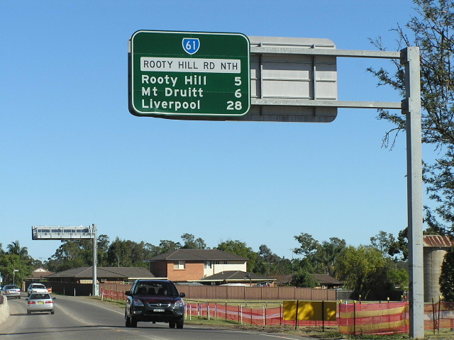
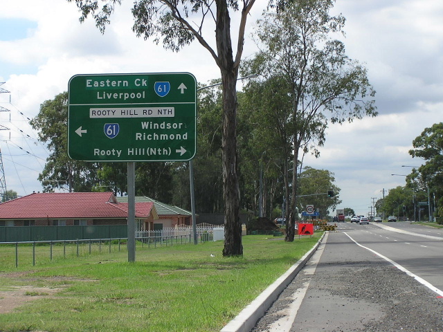
New signage, installed Mid-2005, showing no SR61 shield, suggesting it will be decommissioned when the Westlink M7 opens. Aug 2005. |
 |
RD sign southbound from Richmond Rd on Rooty Hill Road North. May 2004. |
 |
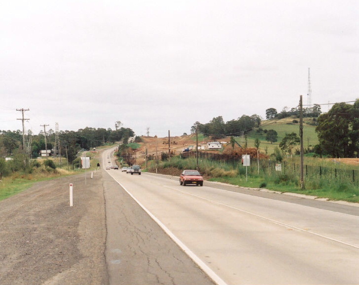
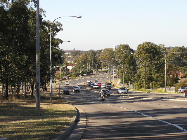
Looking south along Rooty Hill Rd North through Oakhurst. May 2004. |
 |
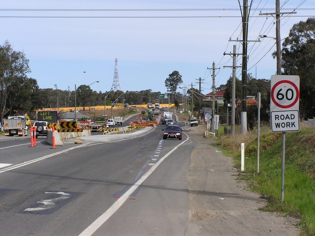
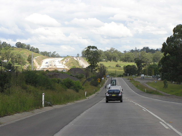
Looking north near Luxford Rd showing duplication works. Aug 2005. |
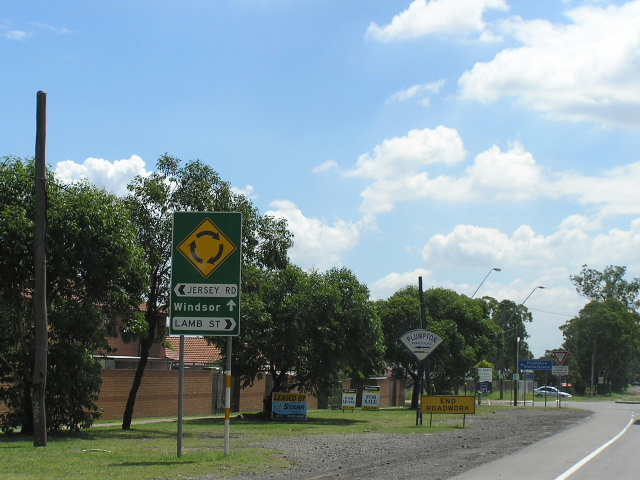 |
Unusual direction sign northbound approaching Lamb St & Jersey Rd, Plumpton. May 2004. |
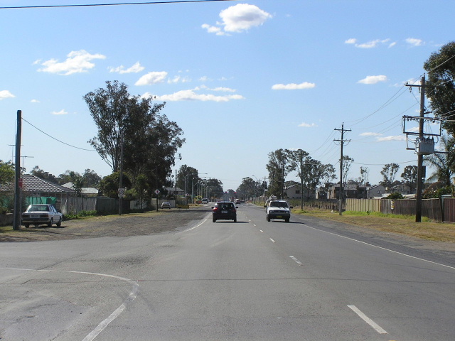 |
Rooty Hill Road North looking north through Plumpton. Aug 2005. |
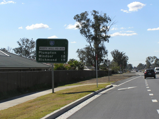 |
Rooty Hill Road North looking north from Woodstock Ave, Plumpton. Aug 2005. |
 |
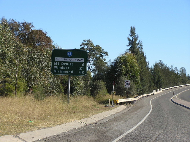
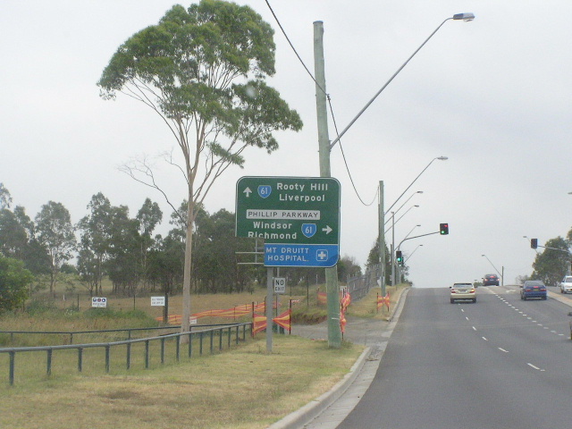
Woodstock Ave looking east approaching SR61 at Rooty Hill. Feb 2005. |
 |
Woodstock Ave heading east from Rooty Hill Rd North. Note the unusual case where Blacktown is ahead of Eastern Creek on the distance sign. May 2004. |
 |
Looking west along Woodstock Ave from Philip Parkway. Feb 2005. |
 |
Woodstock Ave looking west to the junction with Philip Parkway at Rooty Hill. Feb 2005. |
 |
Philip Parkway looking south from Woodstock Ave. May 2004. |
 |
Looking north along Philip Parkay with M7 construction on the right. Feb 2005. |
 |
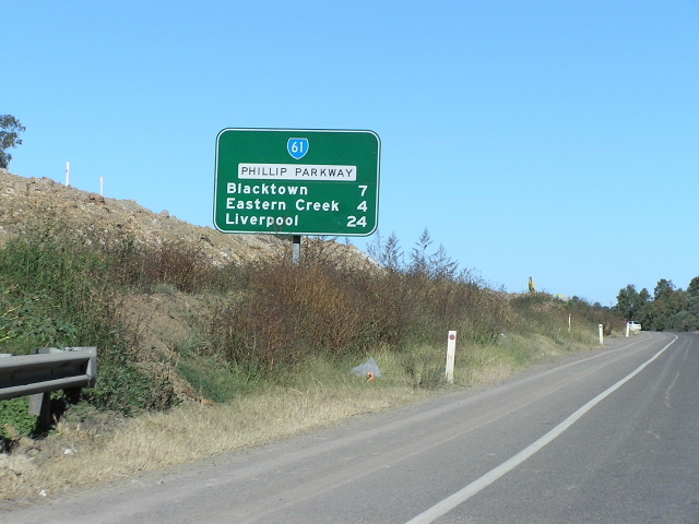
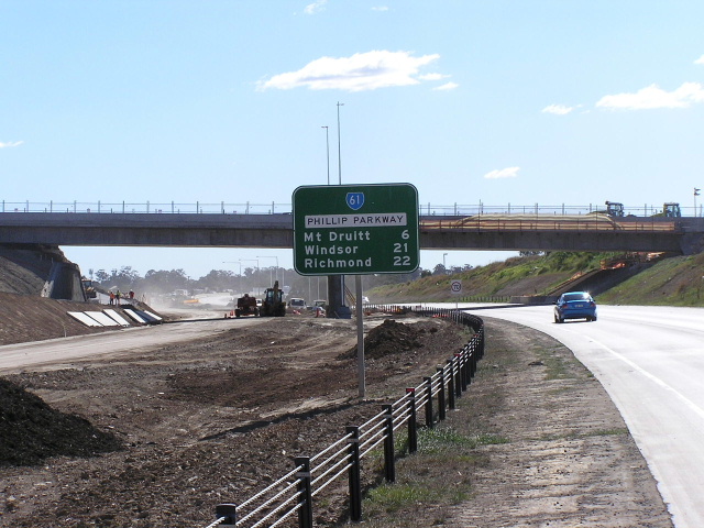
Looking south along Philip Parkway to Eastern Road. Feb 2005. |
 |
RD sign on the old section of Philip Parkway northbound from Eastern Road. May 2004. |
 |
Looking north on the old section of Philip Parkway with the new section about to be opened on the right. Feb 2005. |
 |
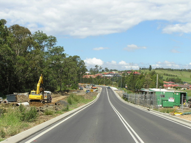
New section of Philip Parkway looking north to Eastern Road. Aug 2005. |
 |
AD sign on Philip Pkwy southbound approaching the Gt Western Hwy at Eastern Creek. Note that SR61 goes right only, not both directions as noted by the sign. Feb 2005. |
 |
Gt Western Hwy westbound approaching the Philip Pkwy at Eastern Creek. Feb 2005. |
 |
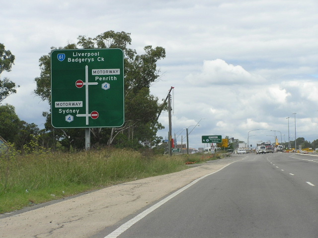
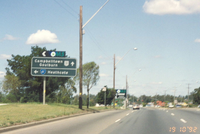
SR44/61 westbound approaching Wallgrove Rd at Eastern Creek. Note that this photo was taken before SR61 was re-routed onto the Philip Parkway extension. May 2004. |
 |
Gt Western Hwy looking east towards Wallgrove Rd. Note the lack of a SR61 shield, suggesting it will be decommissioned when the M7 opens. Feb 2005. |
 |
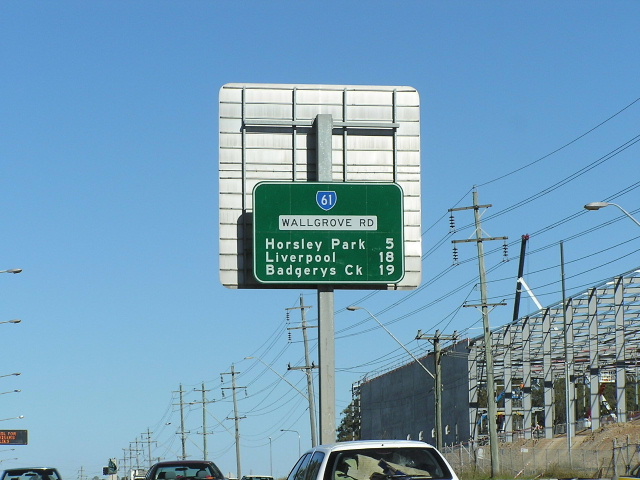
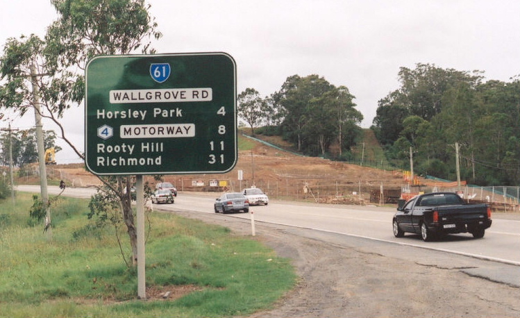
Wallgrove Rd northbound approaching the Gt Western Hwy. Aug 2005. |
 |
Wallgrove Rd southbound approaching the Western Motorway at Eastern Creek. May 2005. |
 |
Wallgrove Rd northbound approaching the Western Motorway. May 2005 |
 |
RD sign southbound on Wallgrove Rd outside Wonderland Sydney. June 2004. |
 |
Wallgrove Rd looking north at the Sydney Water Supply Pipeline at the Eastern Creek/Horsley park boundary. Sep 2005. |
 |
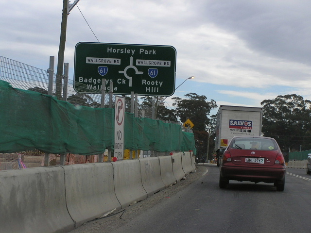
Wallgrove Rd looking north from The Horsley Drive at Horsley Park. Sep 2005. |
 |
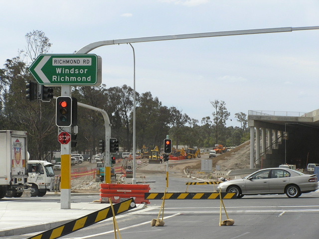
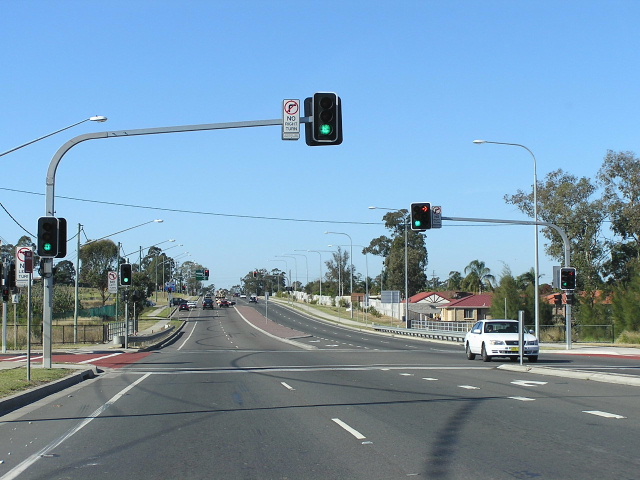
Looking south at The Horsley Drive intersection, showing removal of the roundabout and installation of traffic signals. Sep 2005. |
 |
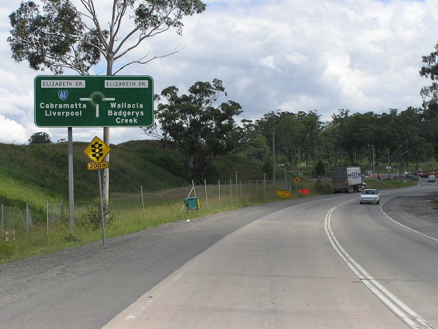
AD sign for SR61 on The Horsley Dr eastbound. April 2003. |
 |
The Horsley Drive westbound approaching Wallgrove Rd. June 2005. |
 |
Wallgrove Rd heading south from The Horsley Drive. May 2005. |
 |
Wallgrove Rd looking south from the former Equestrian Centre entrance, showing cement concrete surface. Dec 2003. |
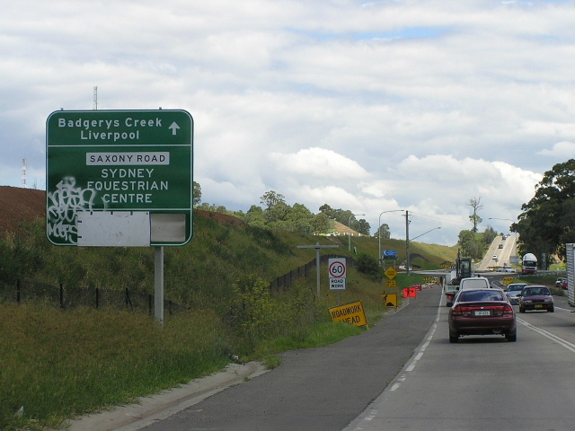 |
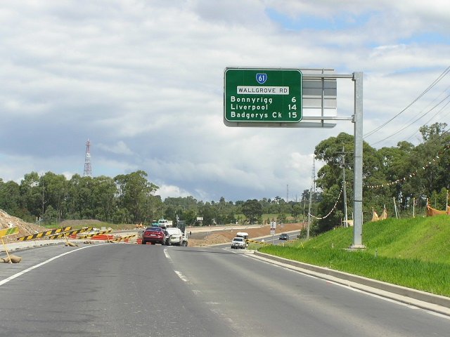
Looking south approaching the Saxony Road roundabout. May 2005. |
 |
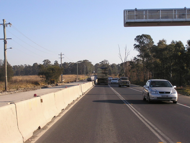
Wallgrove Rd looking south alongside the Westlink M7. May 2005. |
 |
Another view of Wallgrove Rd southbound alongside the Westlink M7. May 2005. |
 |
Great view of Wallgrove Rd northbound near Villiers Rd. Dec 2003. |
 |
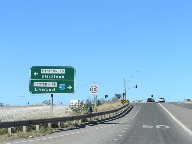
Wallgrove Rd southbound approaching Elizabeth Drive. Note the improvisation on the AD sign done because the roundabout was replaced by traffic signals in mid-2005. May 2005. |
 |
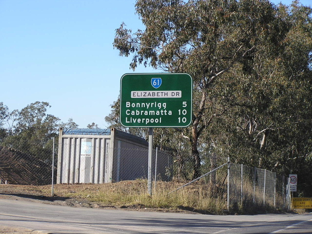
Wallgrove Rd looking north from Elizabeth Drive. Dec 2003. |
 |
Elizabeth Drive eastbound RD sign from Wallgrove Rd at Cecil Park. June 2004. |
 |
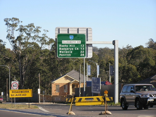
Looking east along Elizabeth Drive showing duplication underway between Wallgrove Rd and Windsor Rd. Feb 2005. |
 |
RD sign westbound on Elizabeth Drive at Cowpasture Rd. June 2004. |
 |
Looking east towards Cowpasture Rd at Bonnyrigg Heights. May 2005. |
 |
Looking west along Elizabeth Drive towards Wilson Rd, Bonnyrigg Heights. June 2004. |
 |
Looking east across the Liverpool-Parramatta Transitway at Bonnyrigg. Feb 2005. |
 |
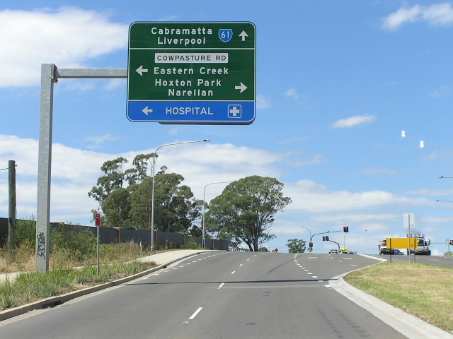
Elizabeth Dr heading west approaching Cabramatta Rd at Bonnyrigg. June 2004. |
 |
Looking east across Green Valley Creek. June 2004. |
 |
Looking east from Lions Lookout towards Liverpool. June 2004. |
 |
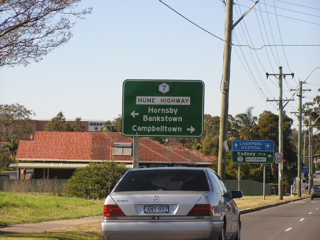
First northbound RD sign on SR61, heading west from the Hume Hwy at Liverpool. June 2004. |
 |
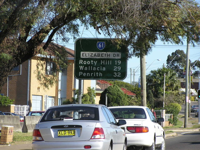
AD sign marking the end of SR61 at Hume Hwy. June 2004. |
 |
Southbound on Hume Hwy approaching the beginning of SR61. Aug 2004. |
Photos of State Route 61's former alignments (Rooty Hill & Liverpool-Heathcote) |
|
 |
State Route 61 shield still existing on the former alignment of Francis Rd/Railway St/Duke St, Rooty Hill. Feb 2005. |
 |
AD sign southbound on the old section of Philip Pkwy showing SR61 via Eastern Rd. May 2004. |
 |
SR61 signage on the former alignment of Eastern Rd approaching Philip Parkway at Rooty Hill. Jan 2004. |
 |
SR61 RD sign on Eastern Rd westbound from Philip Parkway at Rooty Hill. Jan 2004. |
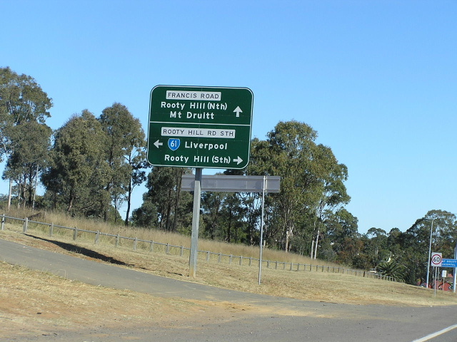 |
SR61 shield pointing down Rooty Hill Rd South from Eastern Road. May 2004. |
 |
SR61 RD sign on Rooty Hill Rd South, heading south from Eastern Rd. May 2004. |
 |
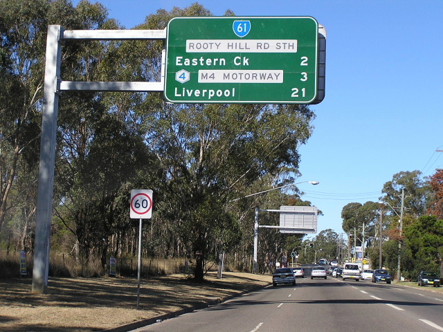
SR61 RD sign on Rooty Hill Rd South, heading north from Gt Western Hwy. Feb 2005. |
 |
Remnant SR61 shield on the Hume Hwy at Hoxton Park Rd/Macquarie St intersection. State Route 61 was moved onto the Hume Hwy in Feb 1985 and then decommissioned in early 1993. This one survived the cull for another few months before being replaced. Dec 1993. |
 |
This pair of signs at the Heathcote Rd/Moorebank Ave intersection at Moorebank is quite interesting. They must have been installed in Feb 1985 when the first stage of the South Western Freeway was opened, but dont show SR61 towards Heathcote which other signs of the similar vintage still did. June 2004. |
 |
SR61 shield for the South Western Freeway on Hume Hwy southbound at Liverpool. Also note the National Route 31 shield. Oct 1992. |
 |
ID sign at the M5/Heathcote Rd interchange showing SR61 through Liverpool. Dec 1993. |