NSW STATE ROUTE 36
Decommissioned
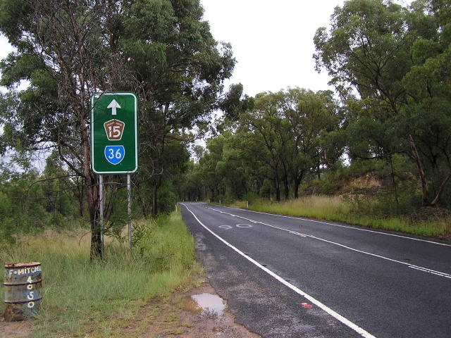
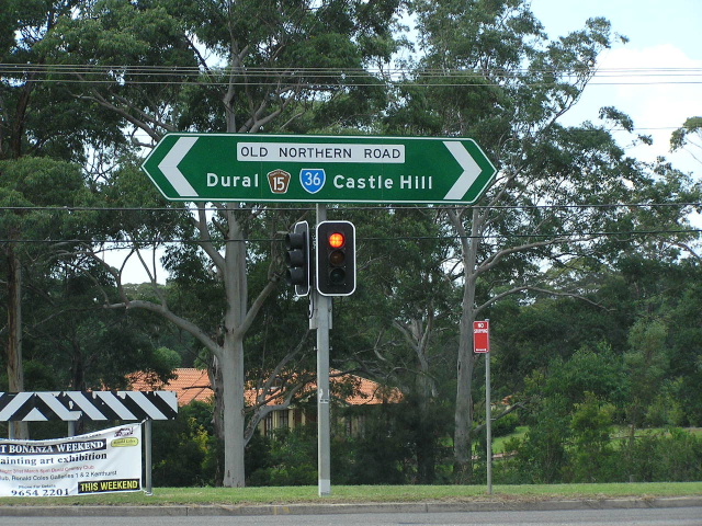
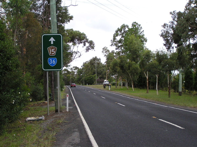
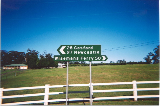
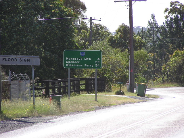
Remnant SR36 trailblazer in Canoelands. March 2005.
Lifespan: 1974-2004 (30 years)
Length: 65km
Northern Terminus: F3 Freeway & Peats Ridge Rd, Somersby Interchange
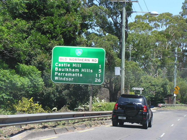
Southern Terminus: Windsor Rd & Old Northern Rd & Seven Hills Rd, Baulkham Hills
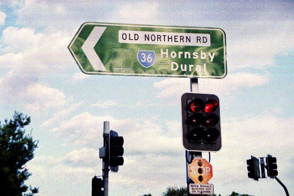
Route taken: Old Northern Rd, Wisemans Ferry Rd, Peats Ridge Rd
Focal Points: Baulkham Hills, Castle Hill, Dural (nb only), Wisemans Ferry, Central Mangrove (sb only), Gosford
RTA Internal Classification: Main Road 160 (Baulkham Hills-Maroota), Main Road 181 (Maroota-Wisemans Ferry), Main Road 225 (Wisemans Ferry Rd), Main Road 455 (Peats Ridge Rd)
Route Overview:
State Route 36 was an alternative route across the Hawkesbury River via Wisemans Ferry. It is comprised of various parts of the original Great North Road and its subsequent deviations and diversions. The route follows very closely the original alignments constructed during the early 1800s. SR36 is largely two-lane undivided, with a long section without line marking along Wisemans Ferry Rd, a long section of four lane road between Rogans Hill and Baulkham Hills and a super-2 expressway section on Peats Ridge Rd.
State Route 36 was first introduced in 1974, following the same alignment as far north as Central Mangrove where it turned south onto George Downes Drive - terminating at National Route 1 which at the time used what is now Peats Ridge Rd. In December 1986 the Calga-Somersby section of the F3 opened to traffic and SR36 was subequently re-routed at Central Mangrove via Wisemans Ferry Rd and Peats Ridge Rd to meet the F3 at Somerbsy Interchange.
A rush of state route decommissionings happened during May/June 2004 and SR36 had seemingly survived - however, in August 2004, the death knell was sounded as the coverplates went up - SR36 was officially decomissioned in August 2004. For some reason many of the trailblazers werent removed or coverplated and i found at least 10 that remained when i went searching in March 2005, although they had been replaced by the time I returned in July 2006. Some of them I have included in the photos section below.
State Route 36 had two duplexes in its history, both along the same stretch of road in Castle Hill. Between 1970 and 1993, SR30 duplexed with SR36. In 1993 SR30 was replaced by Metroad 2 which duplexed with SR36 until May 1997 when it moved to the newly constructed M2 Motorway.
Notable events in the history of SR36:
1801 - Old Northern Rd constructed (Windsor Rd to Castle Hill)
1828 - Old Northern Rd completed (Castle Hill to Wisemans Ferry)
1974 - Route introduced extending from Baulkham Hills to the intersection of then State Highway No. 26 (now Peats Ridge Rd) & George Downes Dr, Peats Ridge
1986 - Widening to four lanes completed (Baulkham Hills to Rogans Hill)
Dec 1986 - SR36 re-routed at Central Mangrove via Wisemans Ferry Rd and Peats Ridge Rd to terminte at F3, Somersby Interchange
Aug 2004 - Route decommissioned
Further reading (on-site):
Northern Terminus: F3 Freeway, Somerbsy Interchange
Photos of the former State Route 36 |
|
 |
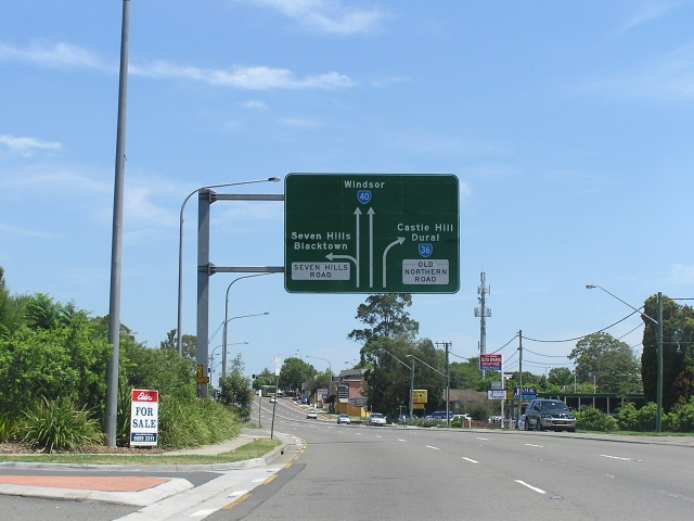
Approaching the southern terminus of SR36 from Seven Hills Rd. Jan 2004. |
 |
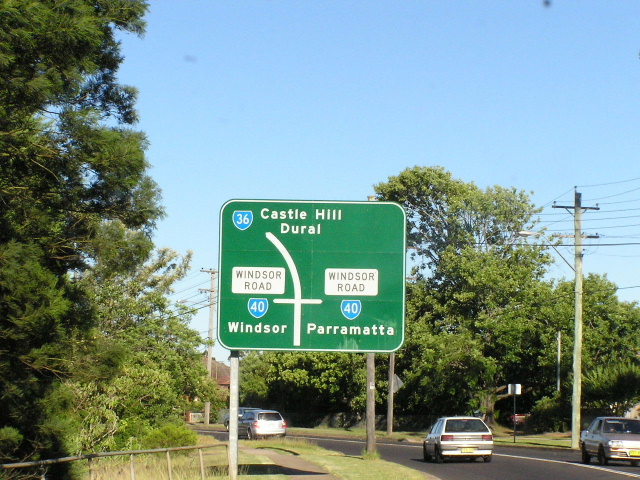
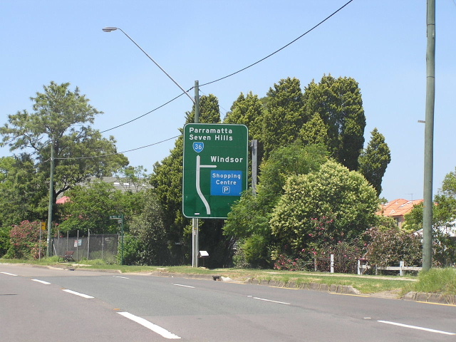
Approaching the southern terminus of SR36 from Windsor Rd northbound. Jan 2004. |
 |
Approaching the southern terminus of SR36 from Windsor Rd southbound. Jan 2004. |
 |
Southbound on Old Northern Rd approaching the Olive St just north of SR36's terminus at Baulkham Hills. Jan 2004. |
 |
The first northbound RD sign, leaving Baulkham Hills. Jan 2004. |
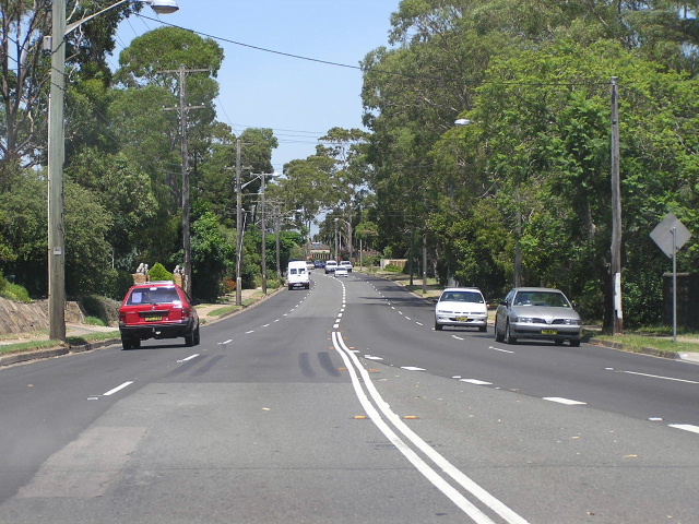 |
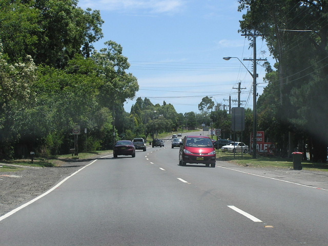
Typical section of SR36 between Castle Hill and Baulkham Hills. Jan 2004. |
 |
A very rare traffic-free moment, looking south on Old Northern Road to the intersection with Showground Rd in Castle Hill. May 2006. |
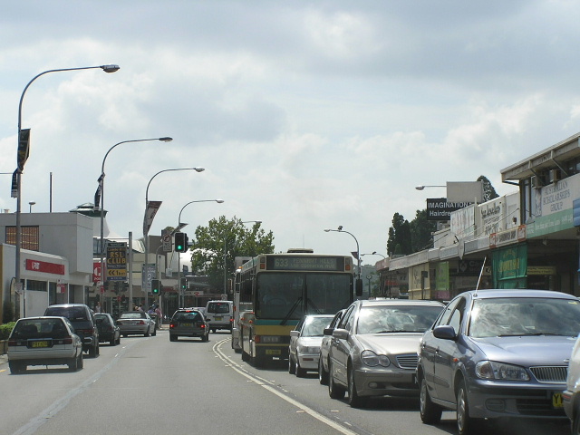 |
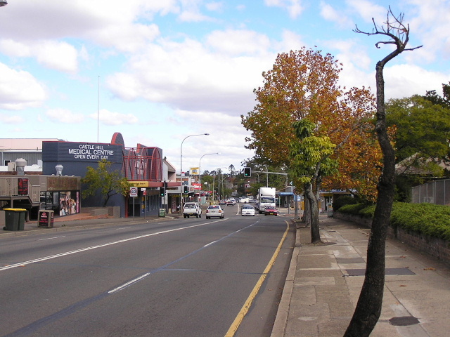
Looking north through the extremely congested Castle Hill CBD. Jan 2004. |
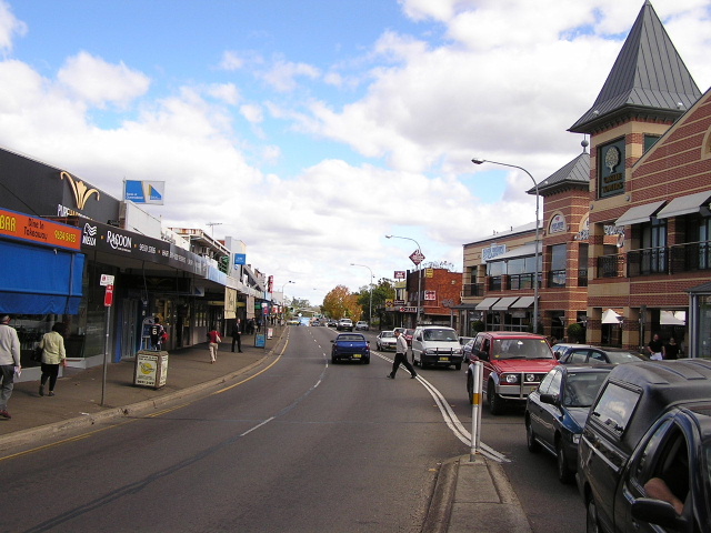 |
Looking south along Old Northern Road through Castle Hill CBD. May 2006. |
 |
ID sign at McMullen Ave, Castle Hill. The coverplate is covering a Metroad 2 shield - which duplexed through Castle Hill from 1993-1997. Jan 2004. |
 |
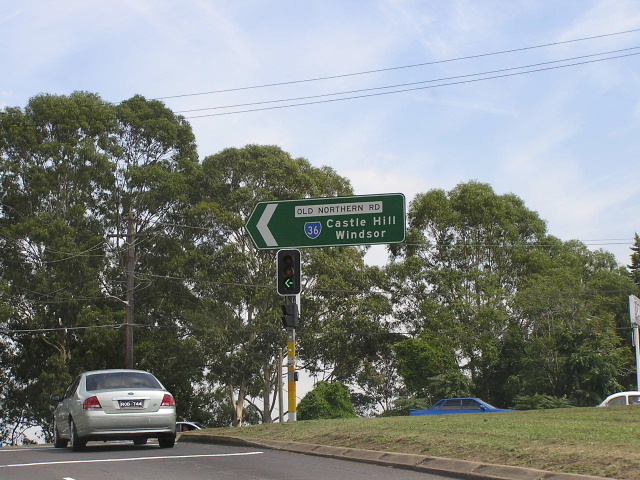
Looking south from Castle Hill Rd. The coverplate covers the Metroad 2/SR36 duplex which explains the Windsor focal point. Jan 2004. |
 |
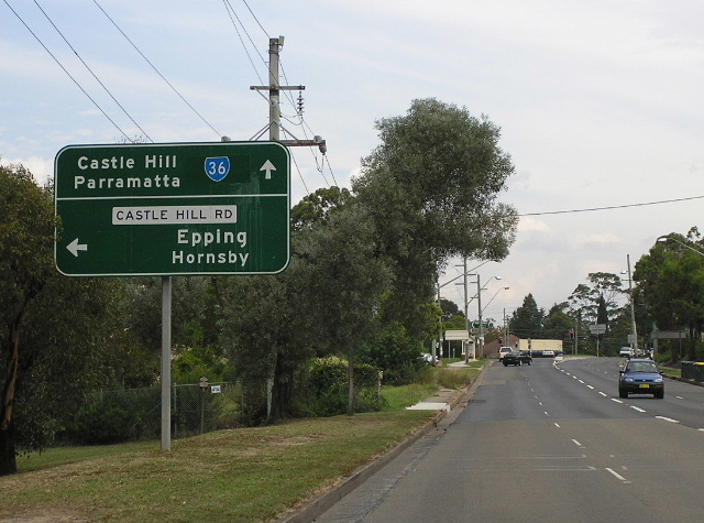
Heading west on Castle Hill Rd approaching Old Northern Rd. Jan 2004. |
 |
ID sign at Old Northern Rd & Castle Hill Rd intersection. Again note the blank coverplate over Metroad 2 shield. Jan 2004. |
 |
Remnant State Route 36 shield on southbound AD sign approaching Castle Hill Rd. March 2006. |
 |
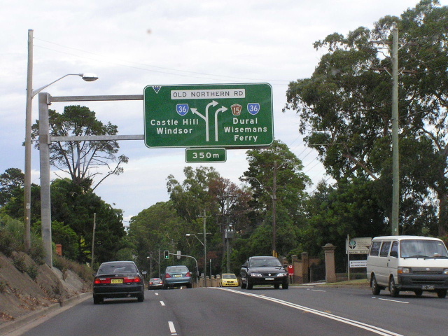
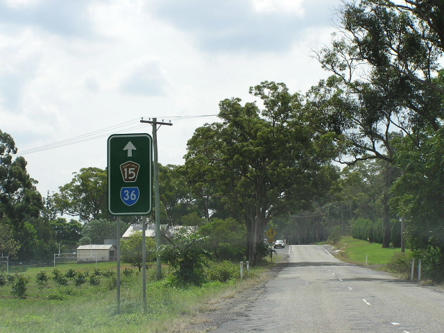
Heading north from Castle Hill Rd. Tourist Drive 15 followed SR36 from here to Wisemans Ferry. Jan 2004. |
 |
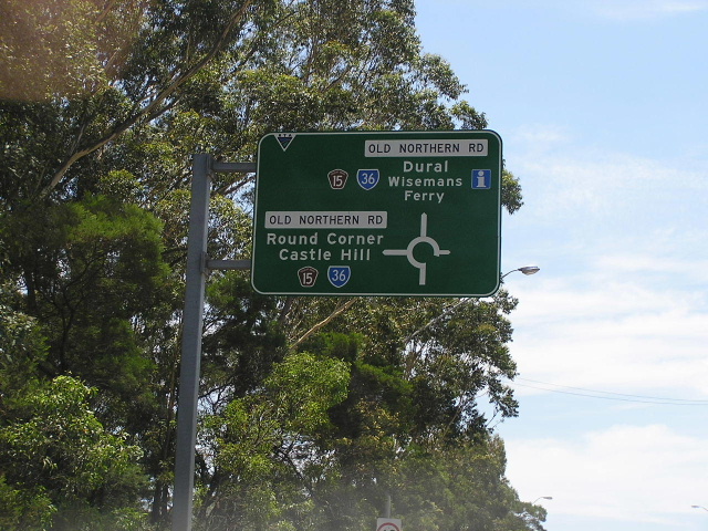
Remnant SR36 shield on a double-chevron ID sign at the intersection of Old Northern Rd & Gilbert Rd. March 2006. |
 |
Looking north through Glenhaven. Jan 2004. |
 |
Remnant trailblazer still standing in September 2004. |
 |
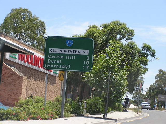
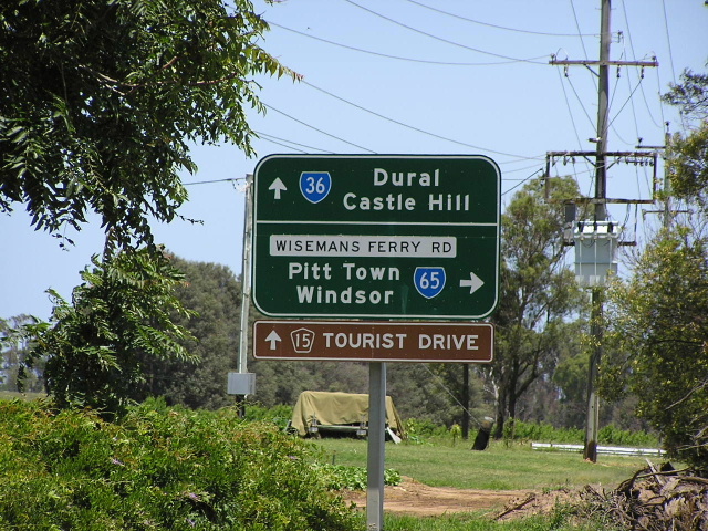
RD sign heading west (south) from New Line Rd at Dural. Jan 2004. |
 |
Approaching SR36 from New Line Rd, Dural. Jan 2004. |
 |
Heading north from New Line Rd. Jan 2004. |
 |
Heading south from Galston Rd, Dural. Jan 2004. |
 |
Approaching SR36 from Galston Rd. Jan 2004. |
 |
Heading north from Galston Rd. Jan 2004. |
 |
ID signs atr Mid-Dural Rd. Jan 2004. |
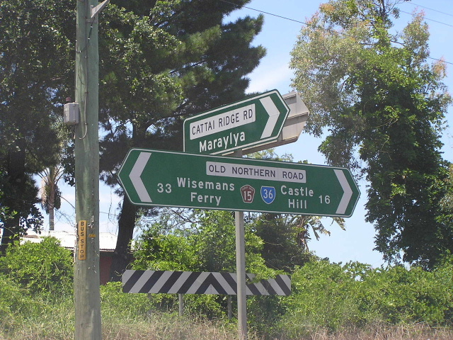 |
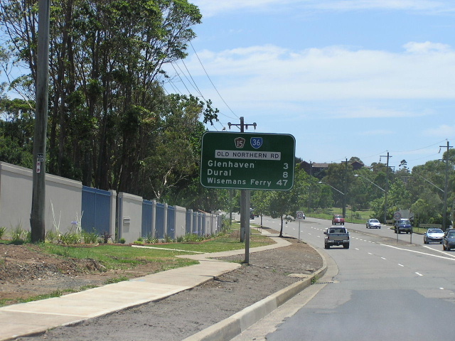
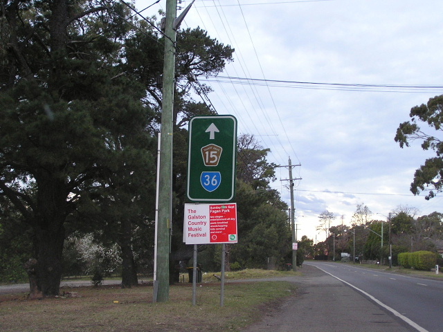
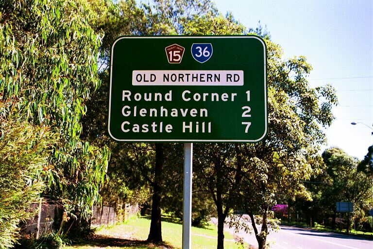
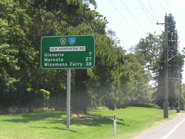
ID signs at Cattai Ridge Rd, Glenorie. Jan 2004. |
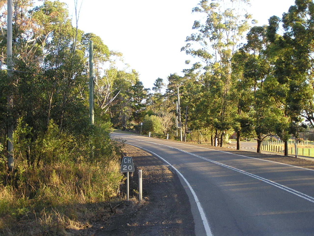 |
Black 'CH20' kilometre plate, southbound on Old Northern Rd outside Les Shore Reserve at Glenorie. July 2006. |
 |
A remnant SR36 and TD15 trailblazer that has since been removed, facing southbound traffic between Glenorie and Maroota. March 2005. |
 |
Approaching Wisemans Ferry Rd (former SR65) from the south. Jan 2004. |
 |
ID signs at Wisemans Ferry Rd (former SR65), Maroota. Jan 2004. |
 |
Incorrect SR65 shield on the RD sign heading south from Maroota. Jan 2004. |
 |
Heading south approaching the start of SR65, Maroota. March 2004. |
 |
Looking north in Maroota. Jan 2004. |
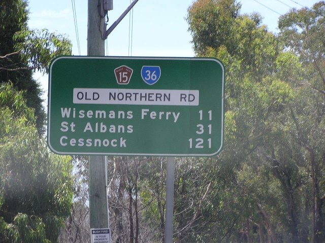 |
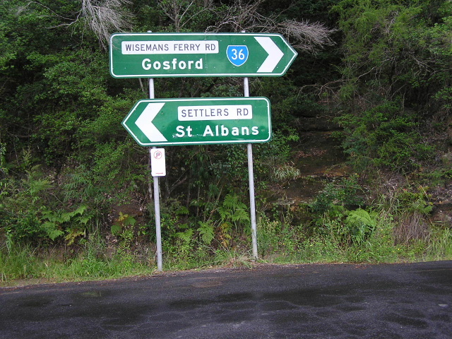
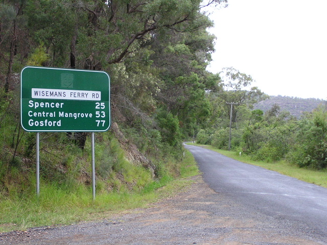
RD sign heading north from Maroota. Cessnock and St Albans both appear as focal points because this section of road is Main Road No. 181 and that continues through St Albans to Cessnock. Jan 2004. |
 |
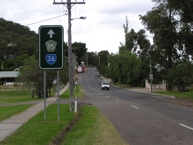
RD sign heading south from Wisemans Ferry. Jan 2004. |
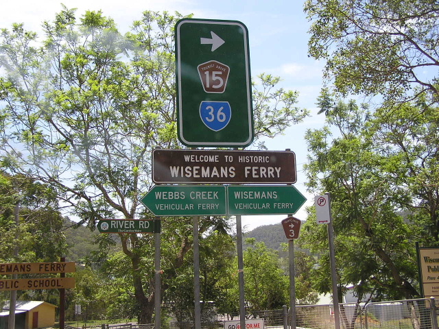 |
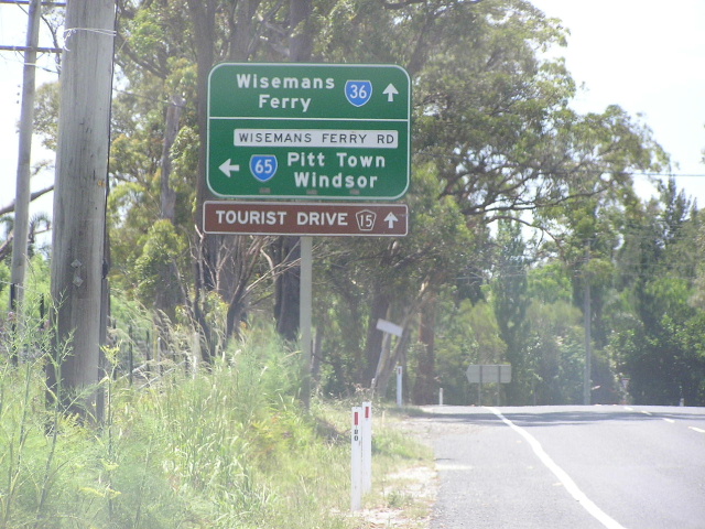
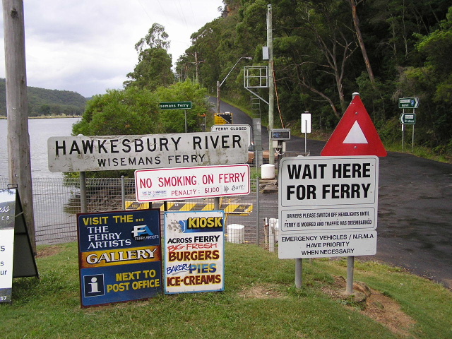
Assortment of signs at River Rd, Wisemans Ferry. Jan 2004. |
 |
Looking south through Wisemans Ferry Township. March 2005. |
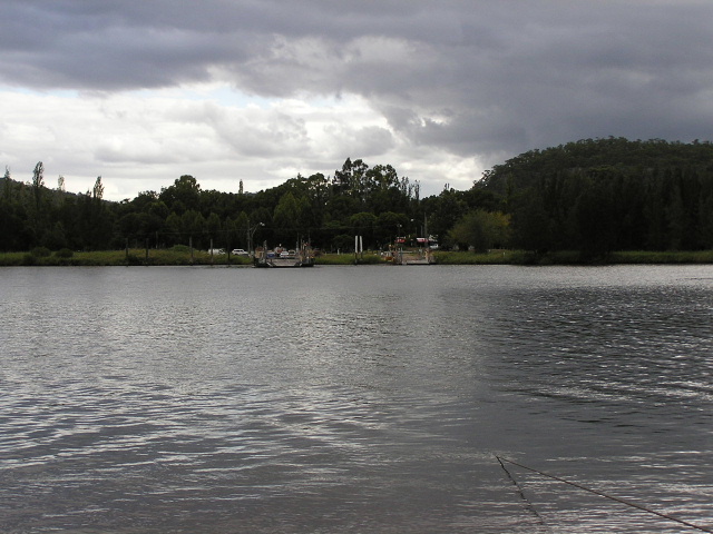 |
Looking south across the Hawkesbury River from the Wisemans Ferry. March 2005. |
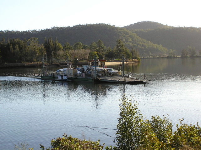 |
A close-up of one of the two ferries that constitute the Wisemans Ferry crossing of the Hawkesbury River. July 2006. |
 |
Assortment of signs on the northern side of the river. March 2005. |
 |
Remnant ID sign with SR36 shield on the northern side of the Hawkesbury. March 2005. |
 |
RD sign heading east (north) from Wisemans Ferry. Im at a loss to explain why this sign has been coverplated yet none of the others on this side of the river have been. March 2005. |
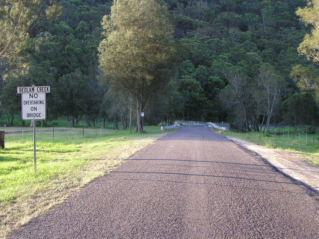 |
Typical road quality between Wsiemans Ferry and Mangrove Mountain. This particular view is crossing Bedlam Creek at Lower Mangrove. Jan 2004. |
 |
Fingerboard signs that strangely omit the SR36 shield. June 2003. |
 |
AD sign showing SR36 northbound on George Downes Drive. Oct 2004. |
 |
Equivalent sign southbound on George Downes Drive. Jan 2004. |
 |
ID signs at the George Downs Drive intersection, Central Mangrove. Jan 2004. |
 |
RD sign heading west (south) from Central Mangrove. Jan 2004. |
 |
AD sign heading west into Central Mangrove. Jan 2004. |
 |
The last SR36 RD sign heading east from Central Mangrove. Jan 2004. |