PRINCES HIGHWAY
Former Alignments: Nowra
The Princes Highway originally passed through the town centre of Nowra and also the centre of Bomaderry, a relic of the days when roads served only as feeder routes to the rail system. The original alignment in Bomaderry was Meroo Rd, Cambewarra Rd, Meroo St and Bolong Rd - passing right by the Bomaderry Railway Station - and was bypassed by the current alignment sometime during the 1930s.
From the Shoalhaven River, the Princes Highway originally passed through the centre of Nowra. This route - consisting of Bridge Rd, North St and Kinghorne St - was frequently congested, particularly in holiday periods, and contained a dog-leg right in the middle of town. A new, perhaps interim, highway route was selected to bypass the town centre to the east, along an upgrade East Street and Hollands Road. Construction was undertaken in conjunction with the duplication of the Shoalhaven River crossing and completed in September 1981. The new highway route provides six lanes of traffic north of Plunkett Street and four lanes south past Kalandar St, where the highway then narrows to three lanes. Land has been set aside along the 3 and 4 lane sections for eventual widening to six lanes. Eventually a new highway route will have to be investigated that completely bypasses the town, however, the East Street Deviation serves well in the meantime.
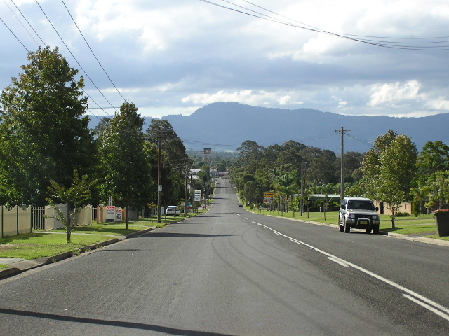 |
Looking north along Kinghorne Street north of Kalandar. Cambewarra Mountain is in the background. Mar 2005. |
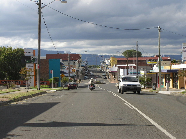 |
Looking north along Kinghorne Street through Nowra town centre. Mar 2005. |