NATIONAL ROUTE 23
State/Capital Circles
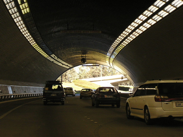
Capital Circle beneath Federation Mall, July 2004.
Route Overview:
Capital and State Circles are major arterial roads that act as distributors around Parliament House on Capital Hill. Capital Circle is the inner ring and is completely limited access, with a tunnel under Federation Mall. You cannot travel 360° on it as it merges straight onto Adelaide Ave as well as straight onto Commonwealth Ave. Capital Circle is only available to one-way traffic in the clockwise direction. State Circle is the outer ring and is a 4-lane at-grade arterial road with traffic lights. National Route 23 uses the north-eastern quadrant of Capital Circle for its southbound journey, but uses State Circle for its northbound journey, merging with Commonwealth Ave via a loop ramp. Construction of the circles was begun in the 1930's but they weren't completed to the current standard until the 1970's.
Photos of NR23 - Capital/State Circles |
|
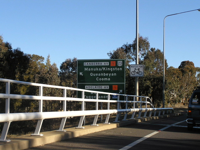 |
Capital Circle approaching the off-ramp for Canberra Ave. If you continue on the circle you merge directly onto Adelaide Ave. Photo taken July 2004. |
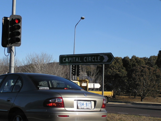 |
Capital Circle ID sign at the intersection of State Circle/Canberra Ave and the Capital Circle access ramp. Photo taken July 2004. |
 |
Merging onto Capital Circle from Canberra Ave. You can just see in the distance where the circle curves to the left and becomes Adelaide Ave. Photo taken July 2004. |
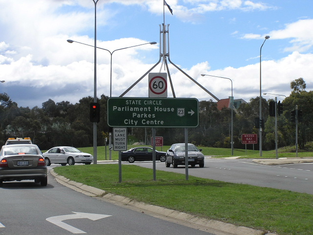 |
Canberra AVe at State Circle with Parliament House in the background. Photo taken July 2004. |
 |
Cool old black ID sign on State Circle at Canberra Ave. Photo taken July 2004. |
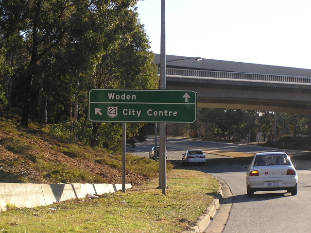 |
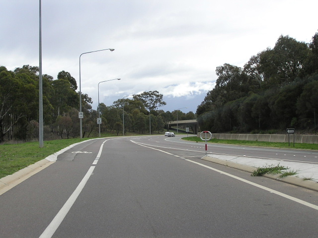
State Circle approaching the loop ramp to Commonwealth Ave. Photo taken July 2004. |
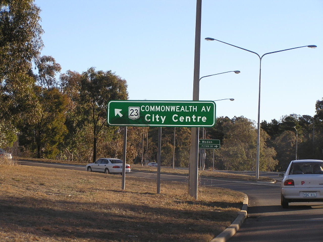 |
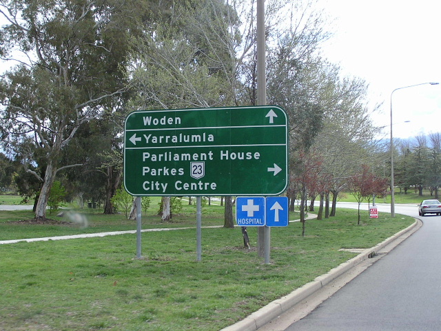
State Circle at Commonwealth Ave. Photo taken July 2004. |
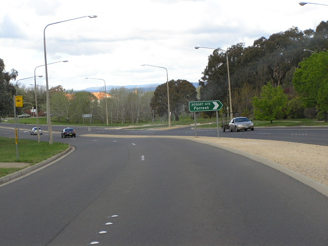 |
State Circle going anti-clockwise near Hobart Ave. This section is not NR23, although it is signposted as such from Adelaide Ave. Photo taken July 2004. |
 |
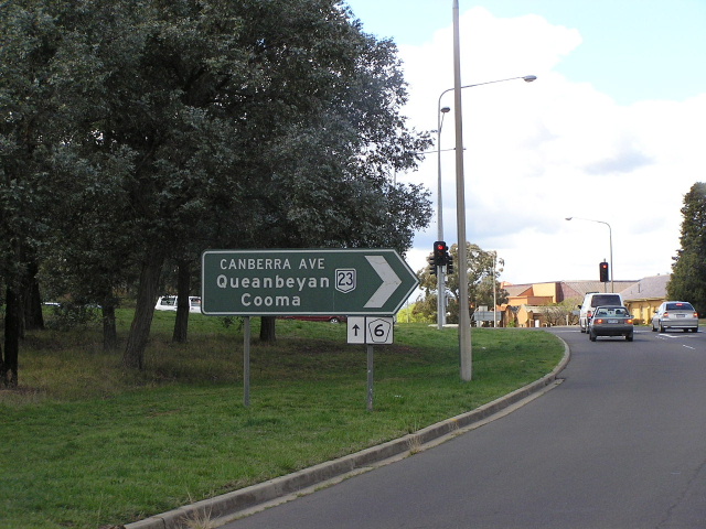
Canberra Ave approaching State Circle. Photo taken July 2004. |